


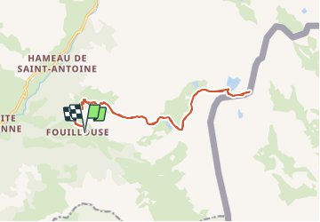

12,6 km | 21 km-effort


Benutzer


Kostenlosegpshiking-Anwendung
 SityTrail
IGN / Geografische Institute
SityTrail World
Die Welt öffnet sich für Sie
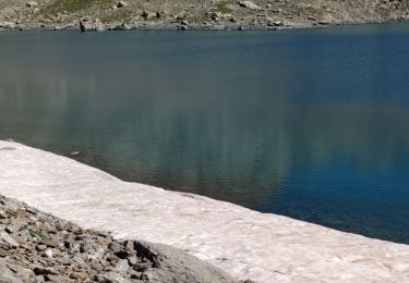
Tour Wandern von 18,1 km verfügbar auf Provence-Alpes-Côte d'Azur, Alpes-de-Haute-Provence, Saint-Paul-sur-Ubaye. Diese Tour wird von claude nier vorgeschlagen.
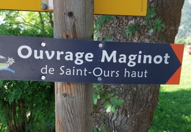
rando faite a l armee 11Eme Bca Jausiers
refaite et toujours aussi sympa

Wandern

Wandern

Andere Aktivitäten
Wandern

Wandern
Wandern
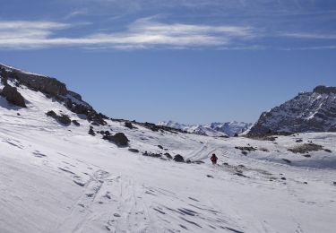
Skiwanderen
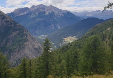
Wandern
Wandern