


3,5 km | 5,4 km-effort

Benutzer


Kostenlosegpshiking-Anwendung
 SityTrail
IGN / Geografische Institute
SityTrail World
Die Welt öffnet sich für Sie
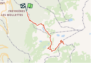
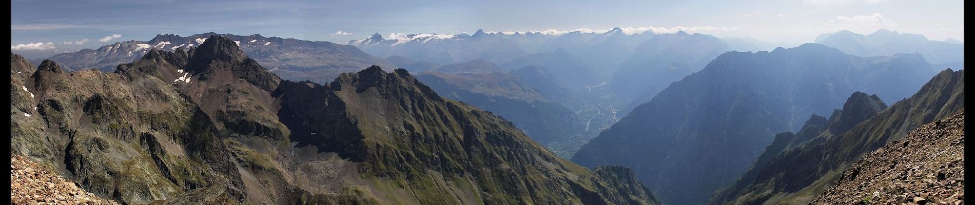
Tour Wandern von 22 km verfügbar auf Auvergne-Rhone-Alpen, Isère, Revel. Diese Tour wird von flip38 vorgeschlagen.
Joli sommet de Belledonne, le panorama est magnifique et on a l'impression d'être sur la lune.
Pas balisé après le lac David, mais sente bien tracée avec des cairns.
Pas mal de dénivelée, randonnée exigeante, ne pas entreprendre par temps de brouillard et en cas de névés tardifs, surtout sous le sommet où l'on traverses des pentes assez raides.
D'autres informations sur mon site : http://surlessommets.blog.free.fr/


Zu Fuß

Zu Fuß
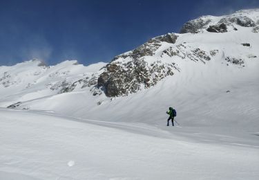
Schneeschuhwandern
Wandern

Wandern

Wandern

Wandern

Wandern

Wandern