


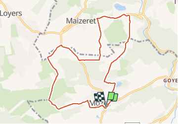

18,3 km | 25 km-effort

Benutzer GUIDE


Kostenlosegpshiking-Anwendung
 SityTrail
IGN / Geografische Institute
SityTrail World
Die Welt öffnet sich für Sie
Tour Wandern von 9,7 km verfügbar auf Wallonien, Namur, Gesves. Diese Tour wird von Desrumaux vorgeschlagen.
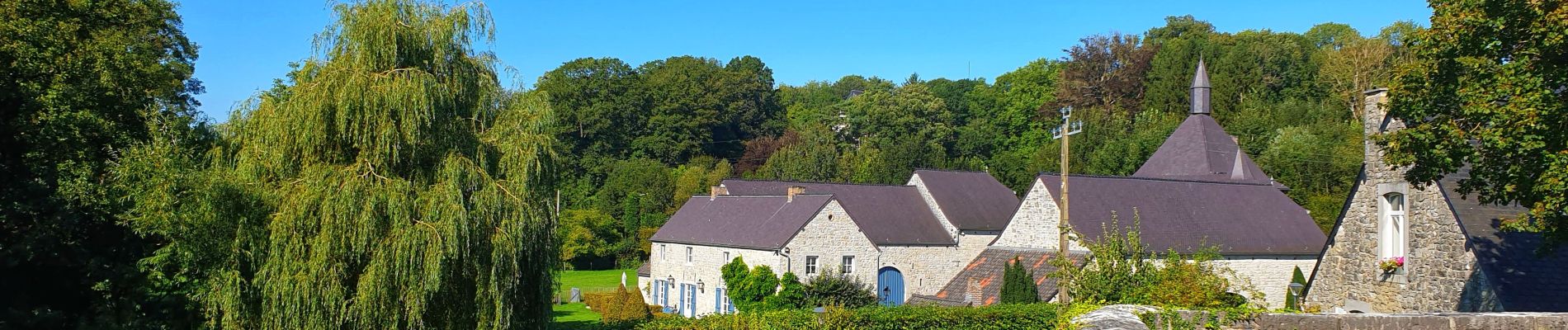
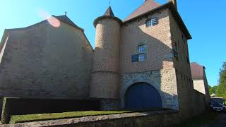
Jolie balade au départ du village de Mozet dans l'entité de Gesves en province de Namur et classé parmi les plus beaux villages de Wallonie.
Balisage rectangle jaune


Wandern

Wandern

Wandern

Wandern

Wandern

Wandern

Wandern

Wandern

Wandern