


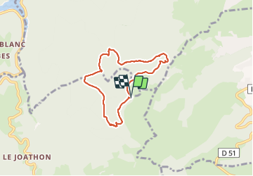

9,3 km | 13,4 km-effort


Benutzer


Kostenlosegpshiking-Anwendung
 SityTrail
IGN / Geografische Institute
SityTrail World
Die Welt öffnet sich für Sie
Tour Wandern von 6,2 km verfügbar auf Auvergne-Rhone-Alpen, Loire, Arcon. Diese Tour wird von jpc42 vorgeschlagen.
Départ en haut du parking, derriere la halle.
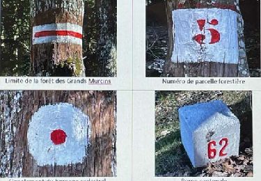
Ce circuit permet de faire le tour complet du site des Grands
Murcins (rocher de Brasselière, rocher de Bellevue, cabane à
Mathéron...). Vous y decouvrirez toute une palette de paysages
et de mileux : plantations anciennes de douglas, plantation récentes de mélèzes et de chènes rouges, terres cultivées...
Il comporte quelques passages légèrement sportifs notamment
à cause du dénivelé.

Wandern
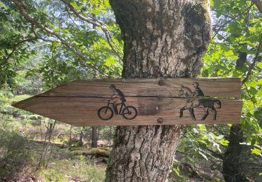
Wandern
Wandern
Wandern
Wandern

Wandern
Wandern
Mountainbike

Mountainbike