


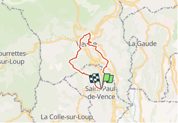

13,1 km | 22 km-effort


Benutzer


Kostenlosegpshiking-Anwendung
 SityTrail
IGN / Geografische Institute
SityTrail World
Die Welt öffnet sich für Sie
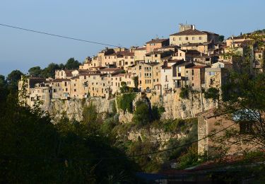
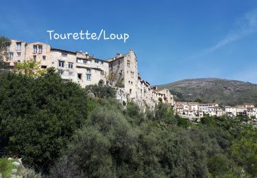
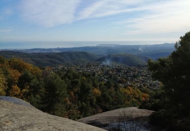
Tour Wandern von 10,1 km verfügbar auf Provence-Alpes-Côte d'Azur, Seealpen, Saint-Paul-de-Vence. Diese Tour wird von pjjrevrard vorgeschlagen.
St-Paul à Vence par le vallon aval du Melvan, la Chapelle Ste-Elisabeth, le conservatoire de musique de Vence. Retour depuis le centre historique par la Chapelle du Rosaire et le vallon amont du Melvan

Wandern
Zu Fuß
Zu Fuß

Mountainbike
Wandern
Wandern
Wandern
Wandern
Wandern