


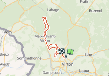


29 km | 35 km-effort

Benutzer


Kostenlosegpshiking-Anwendung
 SityTrail
IGN / Geografische Institute
SityTrail World
Die Welt öffnet sich für Sie
Tour Mountainbike von 23 km verfügbar auf Wallonien, Luxemburg, Wirten. Diese Tour wird von Pascal L vorgeschlagen.
Départ/Retour: Virton (Val d'Away)
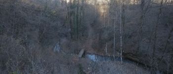
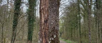
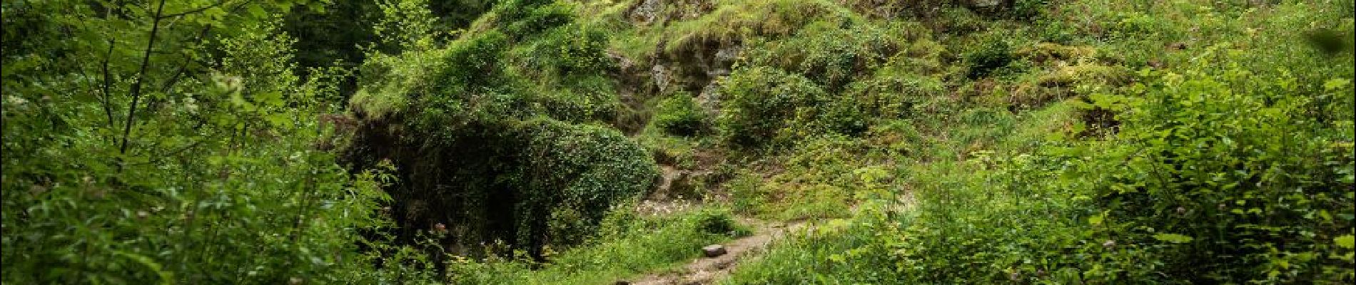
Endroits de passage: Belle Vue, Robelmont, la Poncette, la Cawette, Meix-devant-Virton et son bois, Ruisseau la Chevratte, Haut du Wâ, la Cranière, le rocher "Gros Cron", voie de chemin de fer, Berchiwé, la Hallebarde, Houdrigny
Ref.
- https://walloniebelgiquetourisme.be/fr-be/content/le-gros-cron-une-formation-rocheuse-impressionnante
- https://www.luxembourg-belge.be/diffusio/fr/voir-faire/visiter/patrimoine-naturel/lahage/le-gros-cron-a-lahage_TFO12309.php
- http://biodiversite.wallonie.be/fr/1240-gros-cron-de-lahage.html?IDD=251660576&highlighttext=Gros Cron de Lahage &IDC=1881
(2021.02.21)


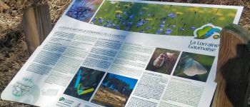
48 Fotos insgesamt. Klicken Sie auf ein Foto, um sie alle in der Galerie zu sehen.

Wandern

Mountainbike

Wandern

Zu Fuß

Wandern

Wandern

Mountainbike

Mountainbike

Mountainbike