


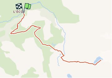

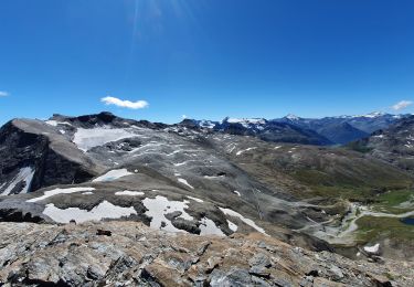
14 km | 27 km-effort


Benutzer


Kostenlosegpshiking-Anwendung
 SityTrail
IGN / Geografische Institute
SityTrail World
Die Welt öffnet sich für Sie
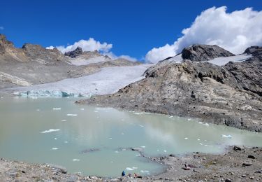
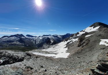
Tour Wandern von 14,1 km verfügbar auf Auvergne-Rhone-Alpen, Savoyen, Bonneval-sur-Arc. Diese Tour wird von Hugues Michel vorgeschlagen.
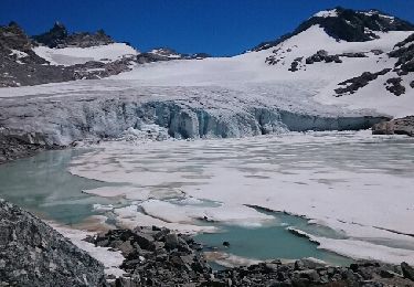
Alors là, cette balade rentre dans mon top 5 parmi les plus belles.
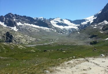
Un bon dénivelé d'un peu plus de 1000m, mais sur 14 km, donc pas trop de souffrance... l'effort est récompensé avec une arrivée à près de 2900m d'altitude face à un lac glaciaire. Bouquetins, chamois, à côté du glacier ... D'énormes morceaux de glaces se détachent et tombent dans le lac avec fracas. Randonnée à faire et à refaire si vous 'êtes pas très loin de Bonneval sur Arc.


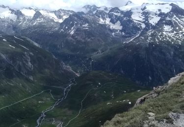
Wandern
Andere Aktivitäten
Wandern
![Tour Wandern Bonneval-sur-Arc - Bonneval-sur-Arc / Bessans [neige] - J4 - Photo](https://media.geolcdn.com/t/375/260/28d35c22-b143-4338-8bb6-93842cf637ce.jpg&format=jpg&maxdim=2)
Wandern
Wandern
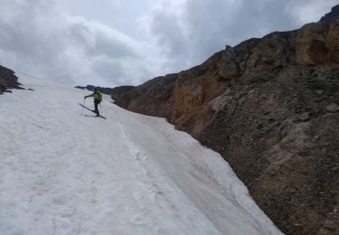
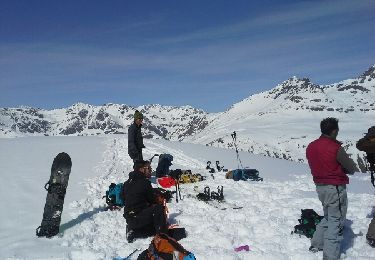
Skiwanderen
Skiwanderen
Wandern
Wandern