


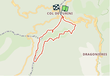

14,5 km | 25 km-effort

Benutzer


Kostenlosegpshiking-Anwendung
 SityTrail
IGN / Geografische Institute
SityTrail World
Die Welt öffnet sich für Sie
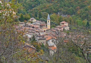
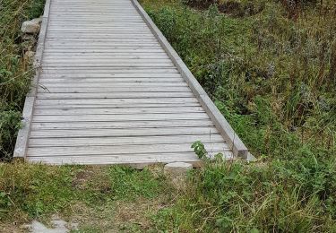
Tour Wandern von 7,8 km verfügbar auf Provence-Alpes-Côte d'Azur, Seealpen, Moulinet. Diese Tour wird von patsure vorgeschlagen.
Randoxygene
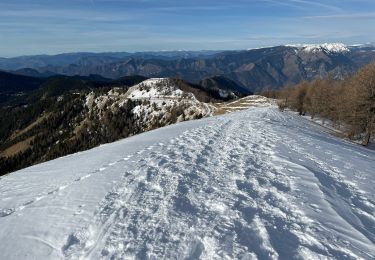
2h15, en majorité sous couvert des sapins donc faisable même en été.
sur le retour, lespassages délicats mentionnés sur la balise 181 ne sont pas durs.


Wandern

Zu Fuß

Zu Fuß
Zu Fuß
Schneeschuhwandern
Wandern
Zu Fuß
Wandern
Wandern