


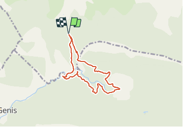


12,1 km | 21 km-effort


Benutzer


Kostenlosegpshiking-Anwendung
 SityTrail
IGN / Geografische Institute
SityTrail World
Die Welt öffnet sich für Sie
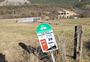
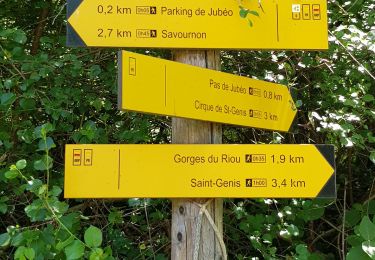
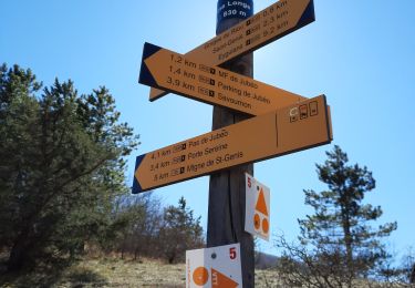
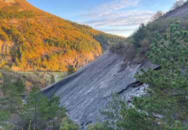
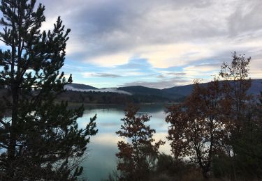
Tour Wandern von 7 km verfügbar auf Provence-Alpes-Côte d'Azur, Hochalpen, Savournon. Diese Tour wird von Thomas Leroux vorgeschlagen.
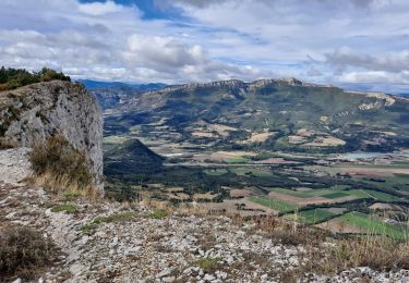
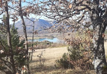
Randonnée proposée par office de tourisme de buech mais assez décevante en terme de vue.. beaucoup de km dans la forêt sans voir grand chose…
Zu Fuß
Wandern

Wandern
Wandern
Wandern
Wandern

Mountainbike
Wandern
Wandern