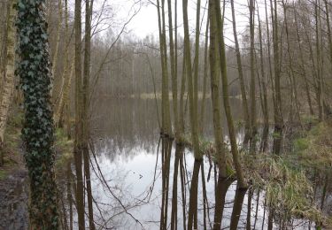
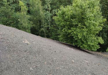
Tour Wandern Raismes - château princesse Raismes - Photo

château princesse Raismes

 papiou
papiou

Benutzer

© OpenStreetMap contributors
Länge
Länge
10,2 km
Maximale Höhe
Maximale Höhe
38 m
Positive Höhendifferenz
86 m
Km-Effort
Km-Effort  
11,4 km
Min. Höhe
Min. Höhe
18 m
Negative Höhendifferenz
87 m
Boucle
Boucle
Ja
Erstellungsdatum :
2021-08-11 11:43:54.482
Letzte Änderung :
2021-08-11 14:56:20.075

(1 Nachricht)

Wandern
Wandern
2h31
Schwierigkeit : Einfach

Scannen Sie diesen QR-Code, um die Tour in der SityTrail-Anwendung zu öffnen

Kostenlosegpshiking-Anwendung

Logo SityTrail SityTrail

IGN / Geografische Institute

SityTrail aus dem App Store herunterladen SityTrail von Google Play herunterladen

Logo SityTrail SityTrail World

Die Welt öffnet sich für Sie

SityTrail aus dem App Store herunterladen SityTrail von Google Play herunterladen SityTrail auf Huawei AppGallery herunterladen

Über SityTrail

Tour Wandern von 10,2 km verfügbar auf Nordfrankreich, Nord, Raismes. Diese Tour wird von papiou vorgeschlagen.

Beschreibung

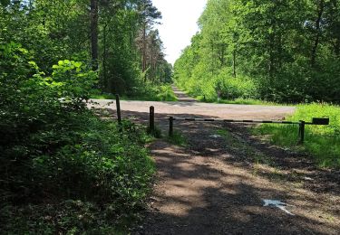
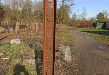
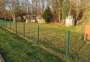
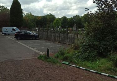
rdv château princesse, face celui ci partir vers la gauche par rue de la patte d'oie puis dreve de l'obélisque jusqu'à dreve de vicoigne, dans celle ci au premier carrefour prendre à gauche dreve des insurgés jusqu'au CD 151. prendre alors petit sentier jusqu'au carrefour Mesnil pour rejoindre BB rose par sentier dreve de Raismes, ensuite rejoindre carrefour vert. Là, rejoindre départ soit par base de loisirs (macadam) ou par dreve de vicoigne (schistes) Attention dreve des insurgés boueuses par temps de pluie

Höhenprofil

Ort

Land:
France
Region :
Nordfrankreich
Abteilung/Provinz :
Nord
Kommune :
Raismes
Standort:
Unknown
Gehen Sie:(UTM)
534400 ; 5582906 (31U) N.

Kommentare

Bitte melden Sie sich an, um einen Kommentar oder eine Bewertung zu hinterlassen


Touren in der Umgebung

Tour Wandern Raismes - Circuit du Terril de Sabatier - Photo
Wandern
corsinou

Wandern

Einfach
(1)
Raismes, Nordfrankreich, Nord, France
13 km | 14,9 km-effort
2h 34min
Ja
Tour Wandern Wallers - Mare à Goriau - Photo
Wandern
rigol05

Wandern

Medium
Wallers, Nordfrankreich, Nord, France
9,8 km | 10,9 km-effort
2h 35min
Ja
Tour Wandern Raismes - Mare à Goriaux - Photo
Wandern
Greg813

Wandern

Medium
Raismes, Nordfrankreich, Nord, France
21 km | 23 km-effort
4h 28min
Ja
Tour Wandern Raismes - Terril du lavoir Rousseau - Photo
Wandern
midu59

Wandern

Medium
Raismes, Nordfrankreich, Nord, France
5,7 km | 7,2 km-effort
2h 7min
Ja
Tour Wandern Saint-Amand-les-Eaux - terril vicoigne - Photo
Wandern
papiou

Wandern

Einfach
(1)
Saint-Amand-les-Eaux, Nordfrankreich, Nord, France
8,7 km | 9,7 km-effort
2h 0min
Ja
Tour Wandern Raismes - terril du lavoir rousseau - Photo
Wandern
papiou

Wandern

Medium
Raismes, Nordfrankreich, Nord, France
7,5 km | 9,3 km-effort
2h 0min
Ja
Tour Wandern Saint-Amand-les-Eaux - notre dame d'amour(NDA), propose par VDN - Photo
Wandern
papiou

Wandern

Medium
Saint-Amand-les-Eaux, Nordfrankreich, Nord, France
9,7 km | 10,6 km-effort
2h 16min
Ja
Tour Wandern Raismes - variante de la course des terrils - Photo
Wandern
papiou

Wandern

Medium
(1)
Raismes, Nordfrankreich, Nord, France
8,8 km | 10 km-effort
2h 10min
Ja
Tour Wandern Wallers - Mare goraux - Photo
Wandern
xcreator

Wandern

Medium
Wallers, Nordfrankreich, Nord, France
6,8 km | 7,5 km-effort
1h 32min
Ja


Schließen
Meine Abonnements