


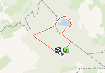

13,2 km | 16,9 km-effort


Benutzer


Kostenlosegpshiking-Anwendung
 SityTrail
IGN / Geografische Institute
SityTrail World
Die Welt öffnet sich für Sie
Tour Wandern von 5,8 km verfügbar auf Großer Osten, Mörthe und Mosel, Amance. Diese Tour wird von DanielROLLET vorgeschlagen.
2021 08 11 Reco an vue rando du 14.08.2021 pour Rando 54
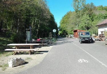
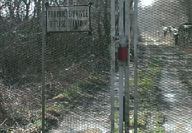
Nombreux arrêts en particulier pour trouver l'entrée du chemin SW>NE qui n'est pas sur la carte.
Wandern
Wandern

Wandern


Nordic Walking
Nordic Walking
Nordic Walking
Nordic Walking
Nordic Walking