


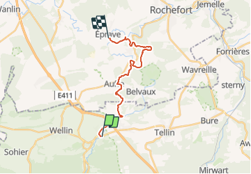

26 km | 33 km-effort


Benutzer


Kostenlosegpshiking-Anwendung
 SityTrail
IGN / Geografische Institute
SityTrail World
Die Welt öffnet sich für Sie
Tour Wandern von 16,2 km verfügbar auf Wallonien, Luxemburg, Wellin. Diese Tour wird von ramagufa vorgeschlagen.
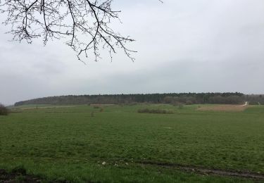
Parcours réel du Gr 17. J'ai fais une variante pour ceux qui ne connaissent pas les rapides de la Lesse. Même distance et même dénivelé mais un point de vue en plus sur le parc de Han.
Wandern
Wandern

Wandern

Wandern

Wandern

Wandern

Wandern
Wandern
Wandern