


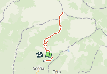

8,1 km | 15,2 km-effort

Benutzer


Kostenlosegpshiking-Anwendung
 SityTrail
IGN / Geografische Institute
SityTrail World
Die Welt öffnet sich für Sie
Tour Wandern von 17 km verfügbar auf Korsika, Südkorsika, Soccia. Diese Tour wird von bozo1970 vorgeschlagen.
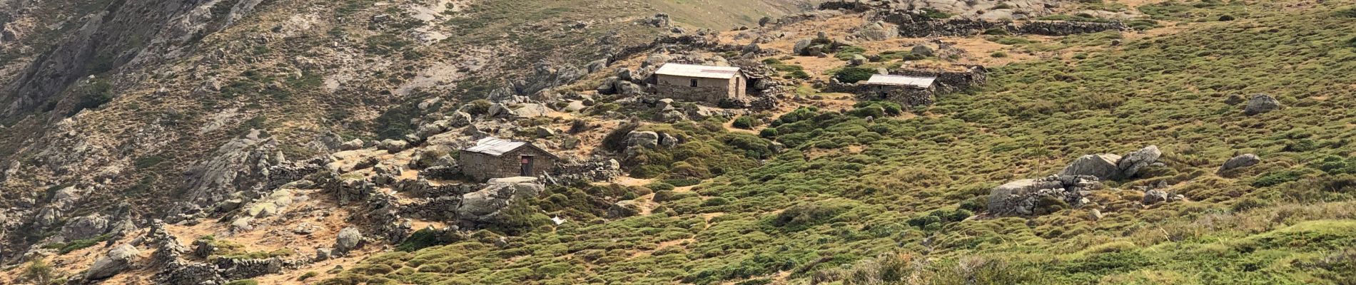
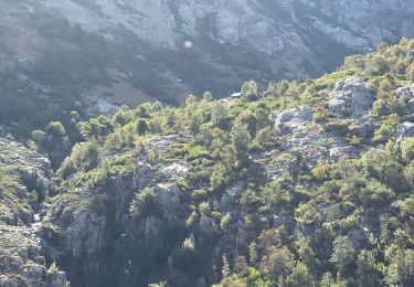
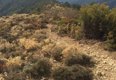
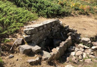
Montée par les bergeries d’a Minuticcia
5h de montée et 1100m de D pour 17km
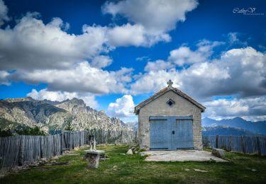
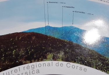
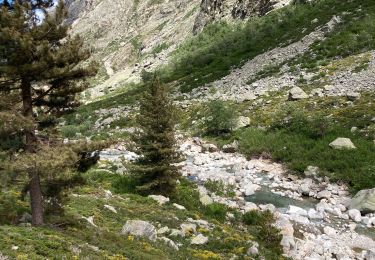
Panorama à couper le souffle
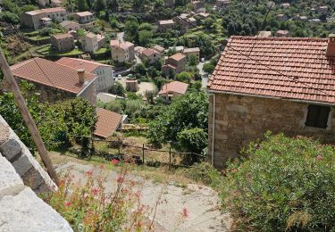
3h30’ de descente, très longue…


Zu Fuß

Wandern
Wandern
Wandern
Wandern
Wandern
Wandern
Wandern
Wandern