


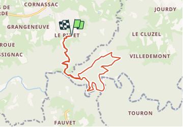

14,9 km | 20 km-effort


Benutzer


Kostenlosegpshiking-Anwendung
 SityTrail
IGN / Geografische Institute
SityTrail World
Die Welt öffnet sich für Sie
Tour Wandern von 8,6 km verfügbar auf Auvergne-Rhone-Alpen, Haute-Loire, Sainte-Sigolène. Diese Tour wird von poneys vorgeschlagen.
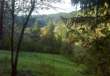
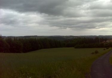
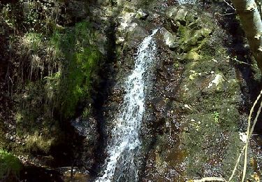
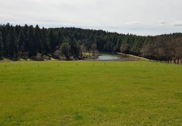
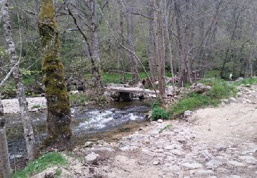
Belle rando avec beaucoup de dénivelé jusqu'à la chapelle St Julien, picnic. Puis descente sur un sentier "hors carte" pour longer la tres belle petite rivière la Dunière.
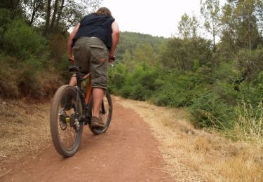
Mountainbike
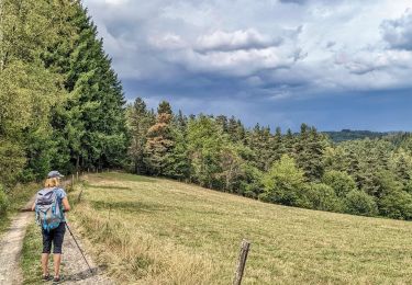
Wandern
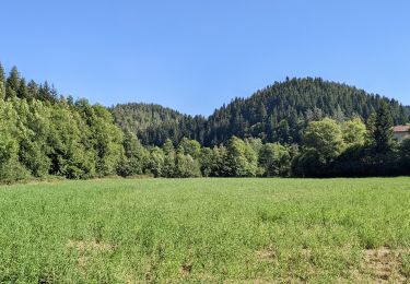
Wandern
Wandern
Wandern
Wandern
Wandern
Wandern
Wandern