


14,3 km | 19,8 km-effort


Benutzer


Kostenlosegpshiking-Anwendung
 SityTrail
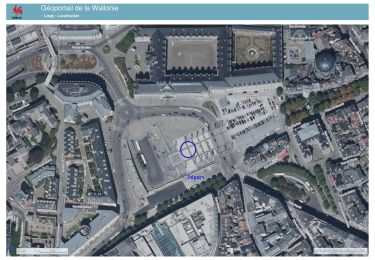
IGN / Geografische Institute
SityTrail World
Die Welt öffnet sich für Sie
Tour Fahrrad von 515 km verfügbar auf Wallonien, Lüttich, Herstal. Diese Tour wird von David Toussaint vorgeschlagen.
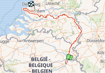
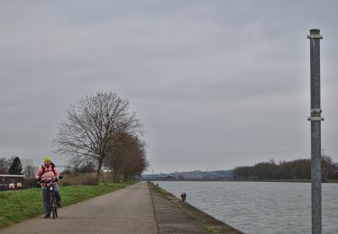
Rejoindre Hoek van Holland puis Rotterdam en suivant les méandres de la Meuse, depuis Liège, en 5 à 6 étapes à vélo. Longueur réelle 270 km.

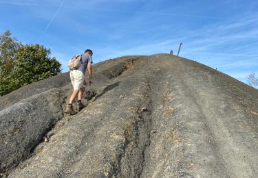
Wandern

Wandern

Wandern
Wandern
Wandern
Wandern
Wandern
Zu Fuß
Zu Fuß