


14,5 km | 26 km-effort

Benutzer


Kostenlosegpshiking-Anwendung
 SityTrail
IGN / Geografische Institute
SityTrail World
Die Welt öffnet sich für Sie
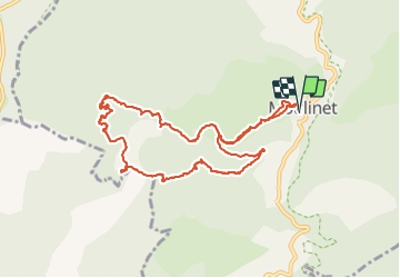
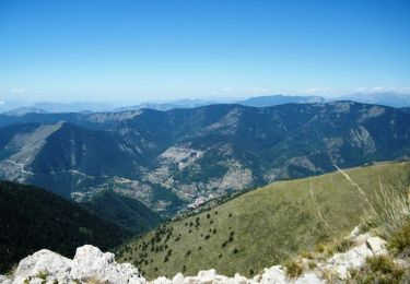
Tour Wandern von 11,4 km verfügbar auf Provence-Alpes-Côte d'Azur, Seealpen, Moulinet. Diese Tour wird von Renefrt vorgeschlagen.
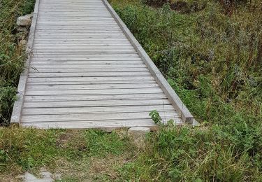
Sur la photo du parcours petite déviation que nous avions effectuée (soit 2,5 km de plus).
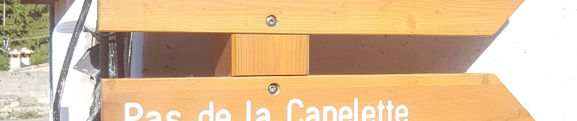
Pou le départ dans le village il vaut mieux demander à un habitant


Zu Fuß

Zu Fuß

Zu Fuß
Zu Fuß

Wandern
Wandern
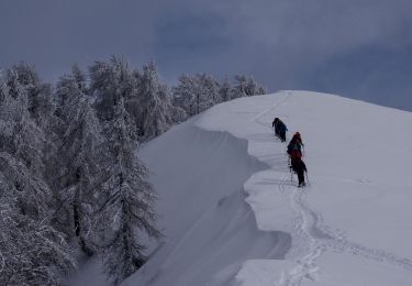
Schneeschuhwandern
Wandern

Wandern