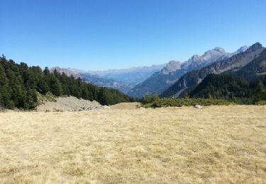
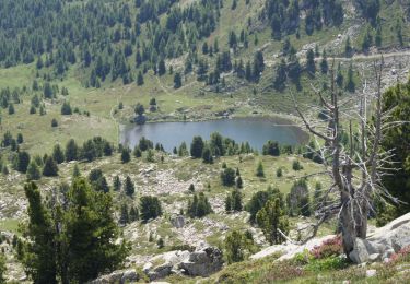
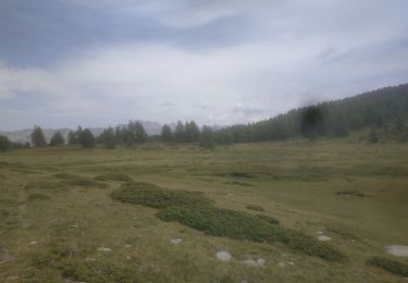
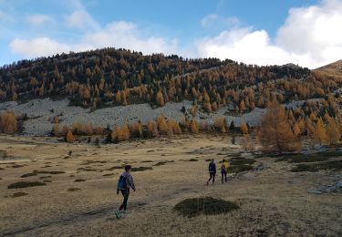
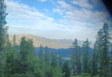
Tour Wandern Seyne - SEYNES,  parking du col col Bas  , piste militaire.  Dormiouse,  lac du Milieu  , lac Noir , lac Gué,  col Bas o l - Photo

SEYNES, parking du col col Bas , piste militaire. Dormiouse, lac du Milieu , lac Noir , lac Gué, col Bas o l

 RobinMicheline
RobinMicheline

Benutzer

© OpenStreetMap contributors
Länge
Länge
15,5 km
Maximale Höhe
Maximale Höhe
2487 m
Positive Höhendifferenz
689 m
Km-Effort
Km-Effort  
25 km
Min. Höhe
Min. Höhe
1904 m
Negative Höhendifferenz
685 m
Boucle
Boucle
Ja
Erstellungsdatum :
2021-07-05 04:15:31.582
Letzte Änderung :
2021-07-05 12:08:16.779

(0 Nachricht)

Wandern
Wandern
4h26
Schwierigkeit : Medium

Scannen Sie diesen QR-Code, um die Tour in der SityTrail-Anwendung zu öffnen

Kostenlosegpshiking-Anwendung

Logo SityTrail SityTrail

IGN / Geografische Institute

SityTrail aus dem App Store herunterladen SityTrail von Google Play herunterladen

Logo SityTrail SityTrail World

Die Welt öffnet sich für Sie

SityTrail aus dem App Store herunterladen SityTrail von Google Play herunterladen SityTrail auf Huawei AppGallery herunterladen

Über SityTrail

Tour Wandern von 15,5 km verfügbar auf Provence-Alpes-Côte d'Azur, Alpes-de-Haute-Provence, Seyne. Diese Tour wird von RobinMicheline vorgeschlagen.

Höhenprofil

Foto-Galerie

36 Fotos insgesamt. Klicken Sie auf ein Foto, um sie alle in der Galerie zu sehen.

Ort

Land:
France
Region :
Provence-Alpes-Côte d'Azur
Abteilung/Provinz :
Alpes-de-Haute-Provence
Kommune :
Seyne
Standort:
Unknown
Gehen Sie:(UTM)
292119 ; 4918010 (32T) N.

Touren in der Umgebung

Tour Wandern Ubaye-Serre-Ponçon - MONTCLAR , les Rollands  , canal de la Pisse , Pre Balou , fontaine du loup , fontaine de l mane o l m s - Photo
Wandern
RobinMicheline

Wandern

Medium
(1)
Ubaye-Serre-Ponçon, Provence-Alpes-Côte d'Azur, Alpes-de-Haute-Provence, France
15,6 km | 23 km-effort
4h 22min
Ja
Tour Wandern Le Lauzet-Ubaye - lac noir (col du bas) - Photo
Wandern
gildascb

Wandern

Einfach
(1)
Le Lauzet-Ubaye, Provence-Alpes-Côte d'Azur, Alpes-de-Haute-Provence, France
11,9 km | 22 km-effort
4h 29min
Ja
Tour Wandern Le Lauzet-Ubaye - lac du milieu - Photo
Wandern
GebleuxGaetan

Wandern

Einfach
(2)
Le Lauzet-Ubaye, Provence-Alpes-Côte d'Azur, Alpes-de-Haute-Provence, France
8,2 km | 15,6 km-effort
2h 53min
Ja
Tour Wandern Seyne - Dormillouse, lac noir et tourbières - Photo
Wandern
mc3c

Wandern

Medium
(1)
Seyne, Provence-Alpes-Côte d'Azur, Alpes-de-Haute-Provence, France
12,7 km | 21 km-effort
4h 33min
Ja
Tour Wandern Seyne - Dormillouse lac noir lac du milieu lac de la cabane  - Photo
Wandern
GUIDE
David25400

Wandern

Einfach
Seyne, Provence-Alpes-Côte d'Azur, Alpes-de-Haute-Provence, France
14,3 km | 25 km-effort
3h 26min
Ja
Tour Wandern Seyne - Dormillouse en boucle par le lac du Milieu - Photo
Wandern
GUIDE
David25400

Wandern

Einfach
Seyne, Provence-Alpes-Côte d'Azur, Alpes-de-Haute-Provence, France
13,1 km | 23 km-effort
4h 33min
Ja
Tour Wandern Montclar - SAINT JEAN MONTCLAR Le tour des chapelles par les chemins d autrefois  o   - Photo
Wandern
RobinMicheline

Wandern

Medium
(1)
Montclar, Provence-Alpes-Côte d'Azur, Alpes-de-Haute-Provence, France
14,5 km | 22 km-effort
4h 57min
Ja
Tour Wandern Le Lauzet-Ubaye - Le Lauzet-Lacs col bas-20-08-2016 - Photo
Wandern
GUIDE
fredetpascale

Wandern

Einfach
(1)
Le Lauzet-Ubaye, Provence-Alpes-Côte d'Azur, Alpes-de-Haute-Provence, France
13,2 km | 26 km-effort
4h 51min
Ja
Tour Wandern Seyne - SEYNES LES ALPES . COL DE BERNARDES . PIC DE BERNARDES . PIC DE SAVERNES . COL BAS O N  - Photo
Wandern
RobinMicheline

Wandern

Schwierig
Seyne, Provence-Alpes-Côte d'Azur, Alpes-de-Haute-Provence, France
10,4 km | 20 km-effort
3h 35min
Ja


Schließen
Meine Abonnements