


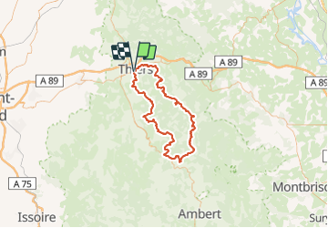


11,4 km | 18,3 km-effort


Benutzer


Kostenlosegpshiking-Anwendung
 SityTrail
IGN / Geografische Institute
SityTrail World
Die Welt öffnet sich für Sie
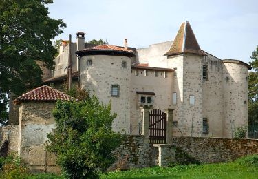
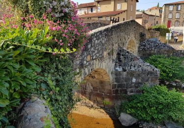
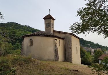
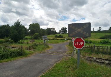
Tour Wandern von 94 km verfügbar auf Auvergne-Rhone-Alpen, Puy-de-Dôme, Thiers. Diese Tour wird von arleol63 vorgeschlagen.
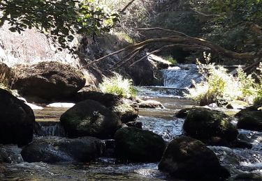
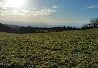
Ballade agréable dans le Forez. Il faut aimer la nature, les forets et les montagnes à vache.
Wandern
Wandern
Wandern

Zu Fuß
Zu Fuß
Zu Fuß
Zu Fuß
Zu Fuß
Wandern