


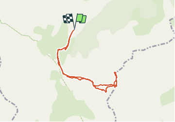

9,8 km | 17 km-effort


Benutzer


Kostenlosegpshiking-Anwendung
 SityTrail
IGN / Geografische Institute
SityTrail World
Die Welt öffnet sich für Sie
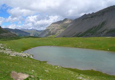
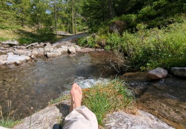
Tour Wandern von 9,1 km verfügbar auf Provence-Alpes-Côte d'Azur, Seealpen, Saint-Dalmas-le-Selvage. Diese Tour wird von bozo1970 vorgeschlagen.
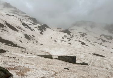
Montée par le vallon de Gialorgues en 2h20'
Descente en 1h40'
Vue exceptionnelle du sommet à 360°
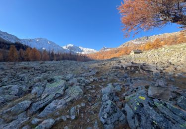
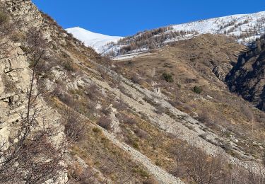
Haute Tinée vallon de Gialorgues Haut var Le Viso et Les Ecrins


Zu Fuß
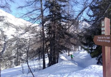
Skiwanderen
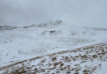
Schneeschuhwandern
Wandern
Wandern
Wandern

Schneeschuhwandern
Schneeschuhwandern
Wandern