


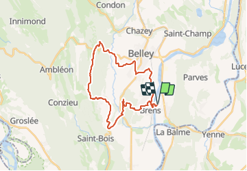

39 km | 54 km-effort


Benutzer


Kostenlosegpshiking-Anwendung
 SityTrail
IGN / Geografische Institute
SityTrail World
Die Welt öffnet sich für Sie
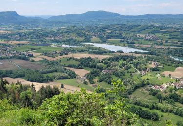
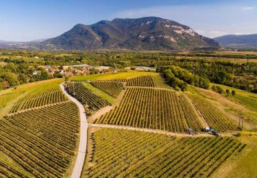
Tour Mountainbike von 29 km verfügbar auf Auvergne-Rhone-Alpen, Ain, Virignin. Diese Tour wird von jeannot01 vorgeschlagen.
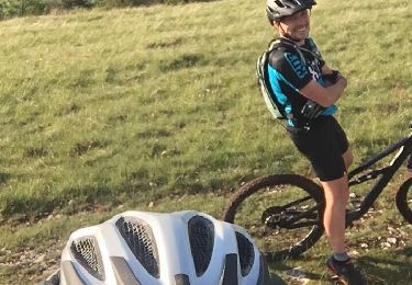
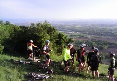
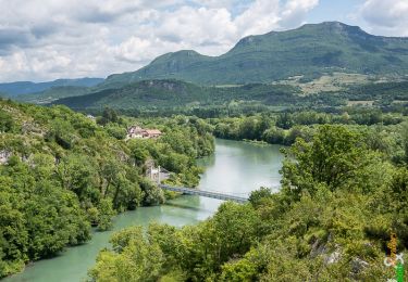
Un parcourt inédit très vallonné mêlant gros chemin et single.
Pas de grosse difficulté technique.
Très beau parcourt
Mountainbike
Mountainbike
Wandern

Mountainbike
Mountainbike
Mountainbike
Wandern
Rennrad
Mountainbike