


11,1 km | 27 km-effort

Benutzer


Kostenlosegpshiking-Anwendung
 SityTrail
IGN / Geografische Institute
SityTrail World
Die Welt öffnet sich für Sie
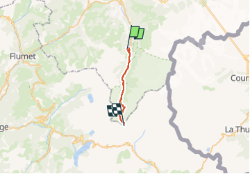
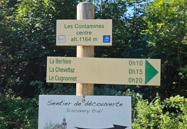
Tour Wandern von 16,3 km verfügbar auf Auvergne-Rhone-Alpen, Hochsavoyen, Les Contamines-Montjoie. Diese Tour wird von uru2010 vorgeschlagen.
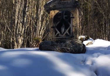
Départ : hôtel La Gélinotte, 91 chemin de La Revenaz, Les Contamines-Montjoie. Tél 04 50 47 01 61.
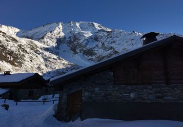
Arrivée : Refuge de la Croix du Bonhomme. Tél 04 79 07 05 28.
Via Nant-Bornan (1h45), l'ancienne Voie romaine, le col du Bonhomme (3h15), la Croix du Bonhomme (50 mn).
Randonnée faite le 23/6/2021.
Durée suivant le guide : 6h30. Ma durée réelle : 7h45.


Skiwanderen
Skiwanderen
Skiwanderen
Skiwanderen
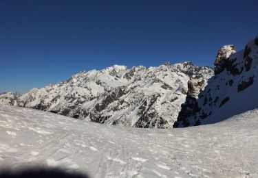
Skiwanderen
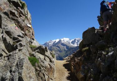
Wandern

Wandern
Wandern
Wandern