


30 km | 40 km-effort


Benutzer GUIDE


Kostenlosegpshiking-Anwendung
 SityTrail
IGN / Geografische Institute
SityTrail World
Die Welt öffnet sich für Sie
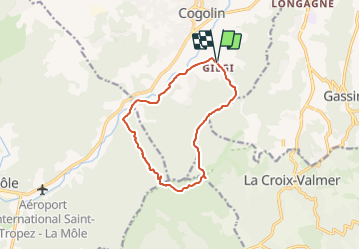
Tour Wandern von 12 km verfügbar auf Provence-Alpes-Côte d'Azur, Var, Cogolin. Diese Tour wird von affinetataille vorgeschlagen.
Randonnée en forme de \"huit\" pour bon marcheur
5h50 avec 50\' de pique-nique avant retour à 464m d\'altitude
Mountainbike
Elektrofahrrad

Wandern
Elektrofahrrad
Mountainbike
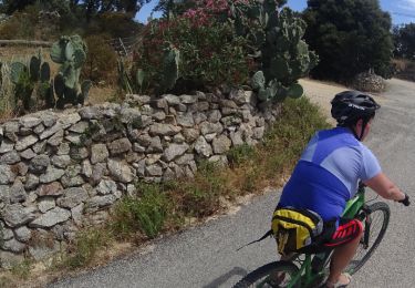
Mountainbike

Mountainbike
Mountainbike
Mountainbike