


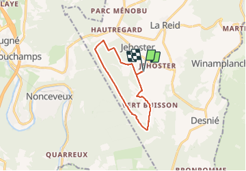


15,9 km | 21 km-effort

Benutzer GUIDE


Kostenlosegpshiking-Anwendung
 SityTrail
IGN / Geografische Institute
SityTrail World
Die Welt öffnet sich für Sie
Tour Wandern von 9,3 km verfügbar auf Wallonien, Lüttich, Theux. Diese Tour wird von pierreh01 vorgeschlagen.
Jolie balade, sans difficulté, de ce lundi 21 juin 2021 au départ de l'internat de l'Institut Provincial Enseignement Agricole (IPEA) de La Reid, sous une météo très agréable (peu de soleil mais pas de pluie).


23 Fotos insgesamt. Klicken Sie auf ein Foto, um sie alle in der Galerie zu sehen.

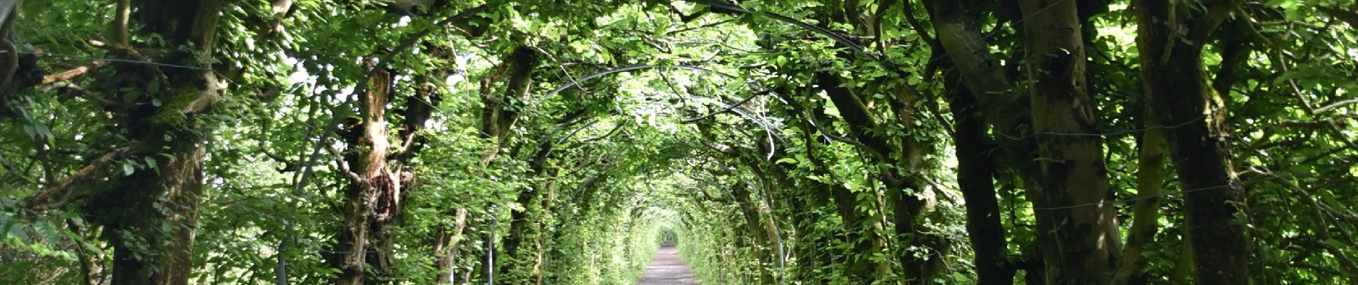
Wandern


Wandern

Wandern

Wandern

Wandern
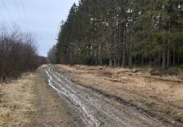
Wandern

Wandern

Wandern