


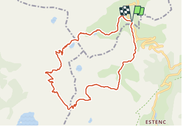

20 km | 34 km-effort

Benutzer


Kostenlosegpshiking-Anwendung
 SityTrail
IGN / Geografische Institute
SityTrail World
Die Welt öffnet sich für Sie
Tour Wandern von 10,9 km verfügbar auf Provence-Alpes-Côte d'Azur, Alpes-de-Haute-Provence, Uvernet-Fours. Diese Tour wird von CASSISFRAMBOISE vorgeschlagen.
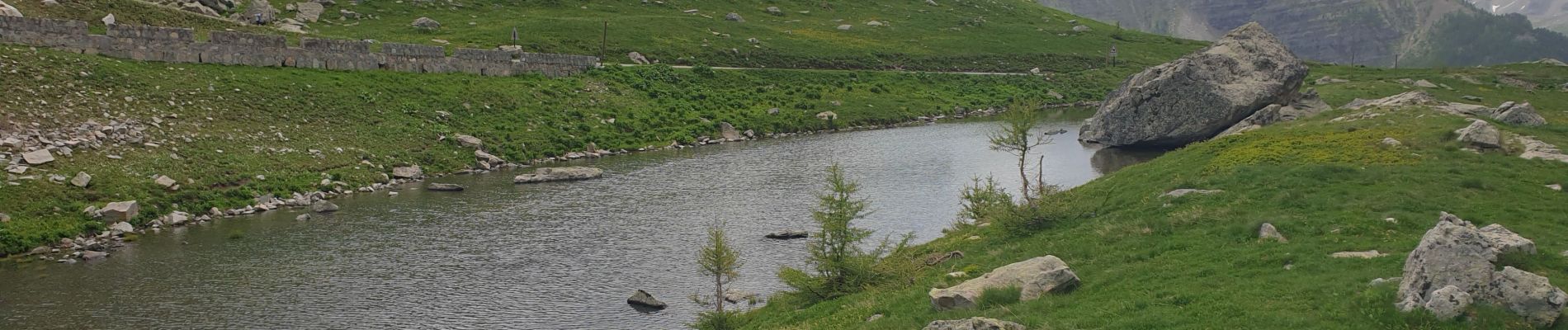
attention...gros névé en montant du col cayolle vers col de la petite cayolle.. A passer crampons et batons minimum.


Wandern

Wandern

Wandern

Wandern

Zu Fuß

Zu Fuß

Zu Fuß

Wandern

Zu Fuß