


16,5 km | 31 km-effort


Benutzer


Kostenlosegpshiking-Anwendung
 SityTrail
IGN / Geografische Institute
SityTrail World
Die Welt öffnet sich für Sie
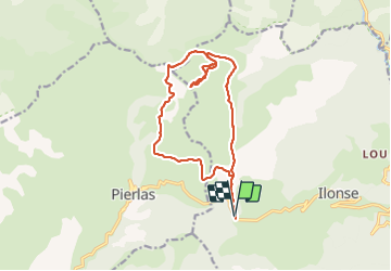
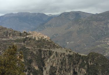
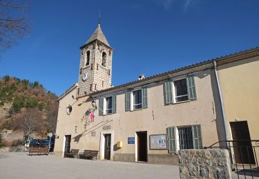
Tour Wandern von 16,1 km verfügbar auf Provence-Alpes-Côte d'Azur, Seealpen, Ilonse. Diese Tour wird von domi06 vorgeschlagen.
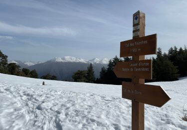
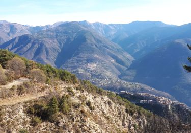
Départ du col de la Sinne B220-montée en forêt au col des Fourches. B222- Suivre le sentier sur le flanc Est, passer au-dessus de bergerie.de la Clap jusqu'à la B308-suivre le sentier cairné vers le sommet. Retour jusqu'à la B308 puis sentier vers la Baisse de Tavanière. Suivre la piste jusqu'au hameau du Clot et prendre le sentier à gauche. B117 qui ramène vers la source captée et le sentier de montée. Tourner à droite pour rejoindre le col.
E2/T2/R2

Zu Fuß

Zu Fuß
Wandern
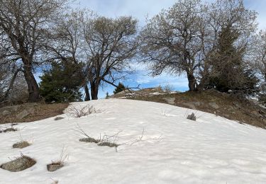
Schneeschuhwandern
Wandern
Wandern

Wandern
Zu Fuß
Wandern