


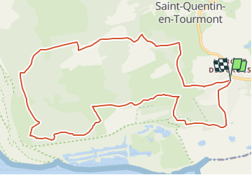

6 km | 6,1 km-effort


Benutzer


Kostenlosegpshiking-Anwendung
 SityTrail
IGN / Geografische Institute
SityTrail World
Die Welt öffnet sich für Sie
Tour Wandern von 11,9 km verfügbar auf Nordfrankreich, Somme, Saint-Quentin-en-Tourmont. Diese Tour wird von raymondfn vorgeschlagen.
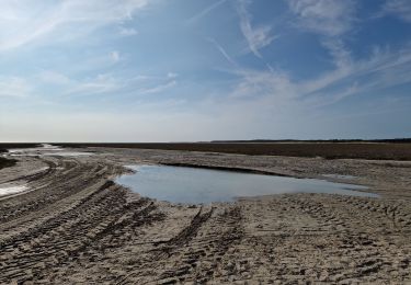
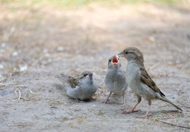
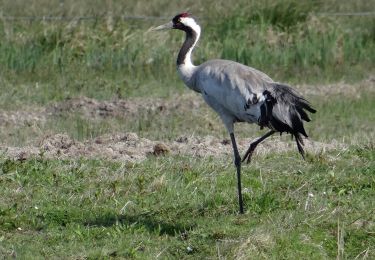
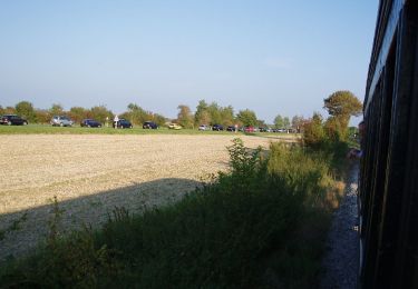
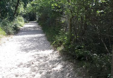
Randonnée autour du domaine du MarquenterreAutour du Marquenterre, une boucle dans les dunes, les crocs en picard, paradis des oiseaux et royaume du cheval.

Wandern

Wandern

Wandern

Pferd
Wandern
Zu Fuß
Zu Fuß
Wandern