


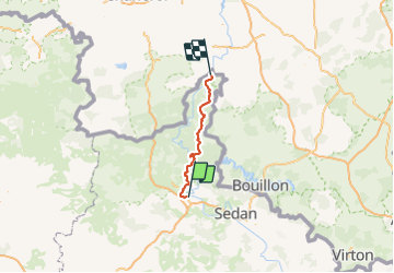

11 km | 13,7 km-effort


Benutzer


Kostenlosegpshiking-Anwendung
 SityTrail
IGN / Geografische Institute
SityTrail World
Die Welt öffnet sich für Sie
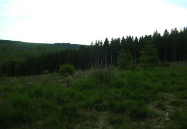
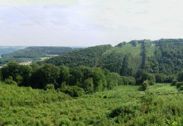
Tour Mountainbike von 75 km verfügbar auf Großer Osten, Ardennes, Charleville-Mézières. Diese Tour wird von GeGe08 vorgeschlagen.
10 en VTTAE et 6 en VTT musculaires.
De belles montées et de belles descentes, de beaux points de vue.
belle performance et belle journée.
retour en train possible

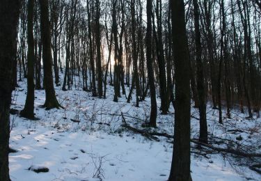
Wandern
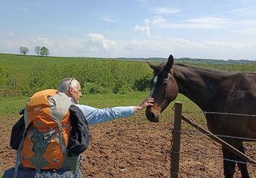
Wandern

Wandern
Mountainbike

Wandern

Wandern
Mountainbike
Mountainbike
Mountainbike