


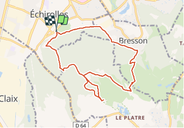

9,1 km | 13,8 km-effort

Benutzer


Kostenlosegpshiking-Anwendung
 SityTrail
IGN / Geografische Institute
SityTrail World
Die Welt öffnet sich für Sie
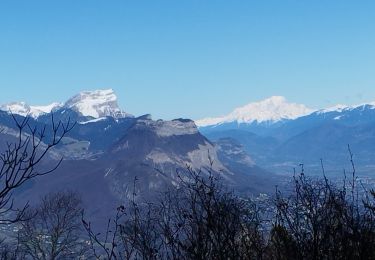
Tour Nordic Walking von 10 km verfügbar auf Auvergne-Rhone-Alpen, Isère, Échirolles. Diese Tour wird von patjobou vorgeschlagen.
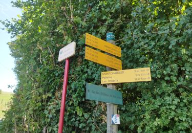
Belle boucle de MN. Au km 6,6 il existe bien un sentier qui longe le bois, rejoint le chemin de Chateauneuf, et qui permet d'aller aux étangs.
Emprunté le 26/10/2021 Sans problèmes; rallonge d'un bon km.


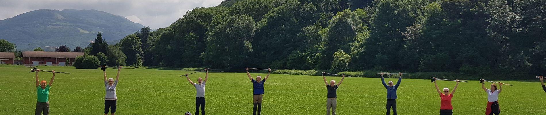
Nordic Walking

Wandern

Mountainbike

Laufen

Wandern
Wandern
Wandern
Wandern
Nordic Walking
chemin agréable. jolie balade ! merci