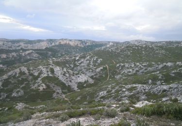
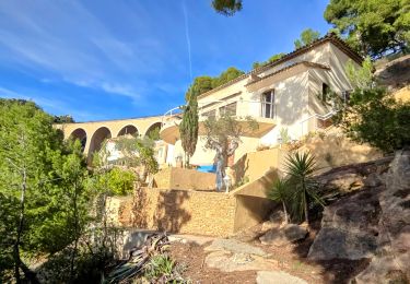
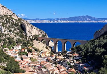
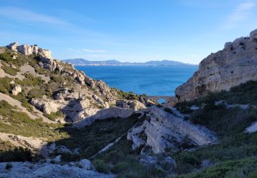
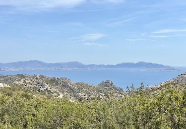
Tour Zu Fuß Le Rove - La Calanque de l'Érevine - Photo
© OpenStreetMap contributors
Länge
Länge
6 km
Maximale Höhe
Maximale Höhe
204 m
Positive Höhendifferenz
221 m
Km-Effort
Km-Effort  
8,9 km
Min. Höhe
Min. Höhe
12 m
Negative Höhendifferenz
217 m
Boucle
Boucle
Ja
Erstellungsdatum :
2021-06-05 07:34:57.955
Letzte Änderung :
2021-06-05 07:36:13.852

(0 Nachricht)

Zu Fuß
Zu Fuß
2h01
Schwierigkeit : Einfach

Scannen Sie diesen QR-Code, um die Tour in der SityTrail-Anwendung zu öffnen

Kostenlosegpshiking-Anwendung

Logo SityTrail SityTrail

IGN / Geografische Institute

SityTrail aus dem App Store herunterladen SityTrail von Google Play herunterladen

Logo SityTrail SityTrail World

Die Welt öffnet sich für Sie

SityTrail aus dem App Store herunterladen SityTrail von Google Play herunterladen SityTrail auf Huawei AppGallery herunterladen

Über SityTrail

Tour Zu Fuß von 6 km verfügbar auf Provence-Alpes-Côte d'Azur, Bouches-du-Rhône, Le Rove. Diese Tour wird von Valentin Lelong vorgeschlagen.

Höhenprofil

POIs

POI Le Rove - Parking visiteurs de Niolon - Photo
Valentin Lelong
POI Le Rove - Bout du parking proche de la gare SNCF - Photo
Valentin Lelong
POI Le Rove - Bifurcation - Photo
Valentin Lelong
LE ROVE 
POI Le Rove - Calanque de l'Erévine - Photo
Valentin Lelong
POI Le Rove - Bifurcation - Photo
Valentin Lelong
LE ROVE 
POI Le Rove - Collet - Photo
Valentin Lelong
LE ROVE 
POI Le Rove - Bifurcation - Photo
Valentin Lelong
LE ROVE 
POI Le Rove - Seconde bifurcation - Photo
Valentin Lelong
POI Le Rove - Parking visiteur Niolon - Photo
Valentin Lelong

Ort

Land:
France
Region :
Provence-Alpes-Côte d'Azur
Abteilung/Provinz :
Bouches-du-Rhône
Kommune :
Le Rove
Standort:
Unknown
Gehen Sie:(Dec)
Gehen Sie:(UTM)
682869 ; 4801296 (31T) N.

Touren in der Umgebung

Tour Wandern Le Rove - Calanque de la Vesse - Niolon la Vesse - Photo
Wandern
tracegps

Wandern

Medium
(1)
Le Rove, Provence-Alpes-Côte d'Azur, Bouches-du-Rhône, France
5,7 km | 8,3 km-effort
2h 15min
Ja
Tour Wandern Le Rove - Côté bleue  - Photo
Wandern
GUIDE
nadinebondoux

Wandern

Schwierig
Le Rove, Provence-Alpes-Côte d'Azur, Bouches-du-Rhône, France
13,2 km | 18,7 km-effort
4h 39min
Ja
Tour Zu Fuß Ensuès-la-Redonne - Grand Sentier de la Côte Bleue - Photo
Zu Fuß
GUIDE+

Zu Fuß

Sehr schwierig
Ensuès-la-Redonne, Provence-Alpes-Côte d'Azur, Bouches-du-Rhône, France
50 km | 60 km-effort
13h 34min
Nein
Tour Zu Fuß Le Rove - Le fort de Niolon - Photo
Zu Fuß
GUIDE+

Zu Fuß

Einfach
Le Rove, Provence-Alpes-Côte d'Azur, Bouches-du-Rhône, France
4,2 km | 6,6 km-effort
1h 29min
Ja
Tour Wandern Le Rove - de Niolon à l'Erévine - Photo
Wandern
GUIDE
amiral13

Wandern

Einfach
(1)
Le Rove, Provence-Alpes-Côte d'Azur, Bouches-du-Rhône, France
7,3 km | 11,1 km-effort
2h 47min
Ja
Tour Wandern Le Rove - Cote bleue - Photo
Wandern
GUIDE
nadinebondoux

Wandern

Schwierig
Le Rove, Provence-Alpes-Côte d'Azur, Bouches-du-Rhône, France
18,7 km | 26 km-effort
6h 48min
Ja
Tour Wandern Le Rove - le Rove - Photo
Wandern
GARROUSTE

Wandern

Einfach
(1)
Le Rove, Provence-Alpes-Côte d'Azur, Bouches-du-Rhône, France
8,7 km | 11,5 km-effort
2h 32min
Ja
Tour Wandern Marseille - Sausset les Pins - Marseille - Photo
Wandern
Baltykatt

Wandern

Schwierig
(1)
Marseille, Provence-Alpes-Côte d'Azur, Bouches-du-Rhône, France
25 km | 33 km-effort
7h 7min
Nein
Tour Wandern Le Rove - de l'Establon au port de la Vesse - Photo
Wandern
GUIDE
amiral13

Wandern

Einfach
Le Rove, Provence-Alpes-Côte d'Azur, Bouches-du-Rhône, France
9 km | 13,5 km-effort
5h 9min
Ja


Schließen
Meine Abonnements