


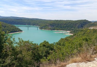
36 km | 46 km-effort

Benutzer


Kostenlosegpshiking-Anwendung
 SityTrail
IGN / Geografische Institute
SityTrail World
Die Welt öffnet sich für Sie
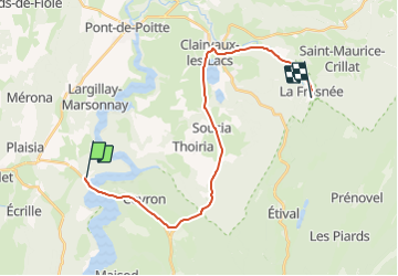
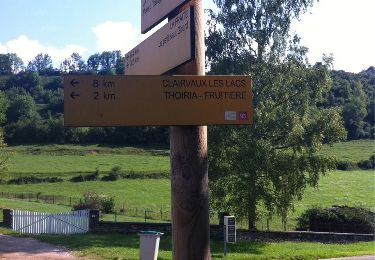
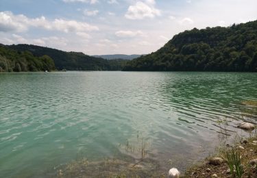
Tour Auto von 21 km verfügbar auf Burgund und Freigrafschaft, Jura, La Tour-du-Meix. Diese Tour wird von JuraClassicTour vorgeschlagen.
- Sortir de l’aire de pique-nique
- Prendre à gauche sur Dessus Arcey/D470 et Continuer de suivre D470 pendant 4,4 km.
- Prendre la sortie D83 en direction de Clairvaux-les-Lacs/Meussia et rouler 140 m.
- Continuer sur D83 pendant 650 m.
- Prendre à gauche sur D27 et rouler 9,7 km.
- Au rond-point, prendre la 1re sortie sur Rue de la Gare/D678 et continuer de suivre D678 sur 270 m.
- Continuer de suivre D118 sur 400 m.
- Prendre à gauche sur Rue des Sapins/D28 et Continuer de suivre D28 pendant 1,9 km.
- Continuer tout droit sur D144 et rouler pendant 3,6 km.
ATTENTION !!! La route est petite et sinueuse !!!
- Passer sur le pont de la Rivière/D144 et prendre à gauche sur Jard Mercier/D144, rouler 240 m.
- Prendre à gauche au bout de la route et votre destination se trouvera devant vous, vous pouvez vous garer sur le parking de droite.

Mountainbike
Wandern
Wandern
Wandern
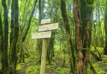
Wandern
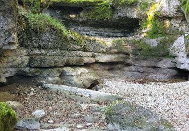
Wandern
Mountainbike
Zu Fuß
Wandern