


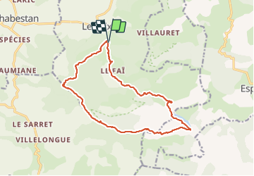


5,5 km | 10,3 km-effort


Benutzer


Kostenlosegpshiking-Anwendung
 SityTrail
IGN / Geografische Institute
SityTrail World
Die Welt öffnet sich für Sie
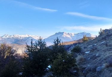
Tour Wandern von 17 km verfügbar auf Provence-Alpes-Côte d'Azur, Hochalpen, Le Saix. Diese Tour wird von PapouBertrand vorgeschlagen.
Randonnée Marche de 7h15, 17 km et 1030 mètres de dénivelé à découvrir à Le Saix, Hautes-Alpes, Provence-Alpes-Côte d'Azur.


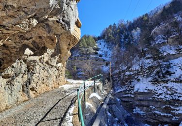
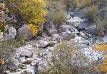
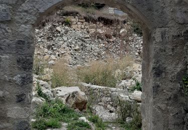
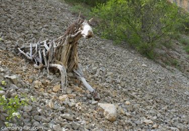
24 Fotos insgesamt. Klicken Sie auf ein Foto, um sie alle in der Galerie zu sehen.

Wandern

Wandern
Wandern
Wandern
Wandern

Laufen
Laufen

Wandern
Mountainbike