


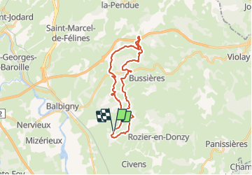

11,4 km | 15,3 km-effort


Benutzer


Kostenlosegpshiking-Anwendung
 SityTrail
IGN / Geografische Institute
SityTrail World
Die Welt öffnet sich für Sie
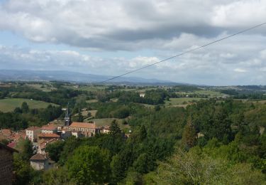
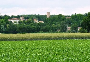
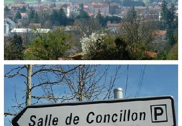
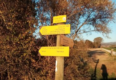
Tour Wandern von 26 km verfügbar auf Auvergne-Rhone-Alpen, Loire, Pouilly-lès-Feurs. Diese Tour wird von galain vorgeschlagen.
Superbe parcours. Un maximum de magnifiques chemins en sous bois. Et cerise sur le gateau, passage sous et sur l'imposant ouvrage qu'est le Pont Marteau (312 m de long et 50 m de haut) construit pendant la 1ère guerre mondiale.
Wandern
Mountainbike
Mountainbike

Wandern

Wandern
Wandern

Wandern
Wandern

Wandern