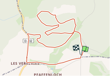


24 km | 34 km-effort


Benutzer


Kostenlosegpshiking-Anwendung
 SityTrail
IGN / Geografische Institute
SityTrail World
Die Welt öffnet sich für Sie
Tour Wandern von 6,8 km verfügbar auf Großer Osten, Oberelsass, Winkel. Diese Tour wird von JCLUTT vorgeschlagen.
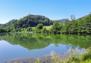
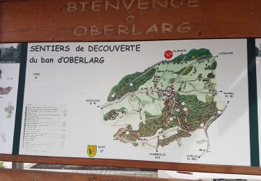
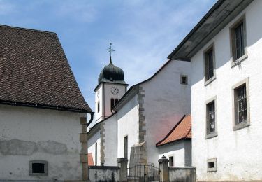
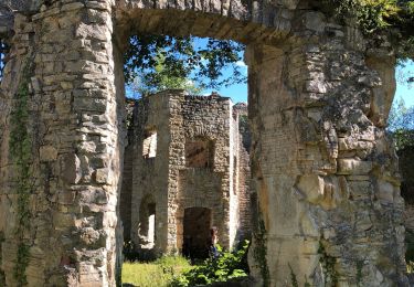
Petite balade apéritive ou digestive après un excellent repas au Petit Kohlberg ! A conseiller pour son accueil et la qualité du restaurant ! Ne pas oublier de faire un tour à la source de L'Ill et visiter la chapelle de Warth du 14ème siècle à Winkel.

Wandern
Zu Fuß
Wandern

Zu Fuß
Zu Fuß
Zu Fuß

Wandern
Wandern