


39 km | 54 km-effort


Benutzer


Kostenlosegpshiking-Anwendung
 SityTrail
IGN / Geografische Institute
SityTrail World
Die Welt öffnet sich für Sie
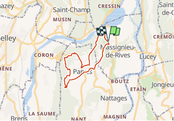
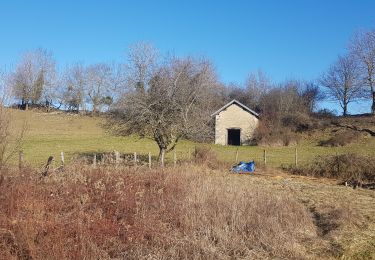
Tour Wandern von 12 km verfügbar auf Auvergne-Rhone-Alpen, Ain, Massignieu-de-Rives. Diese Tour wird von patpounet73 vorgeschlagen.
Randonnée très agréable à faire en famille. Peu de place pour se garer au Grand Ecrivieu (éventuellement 1 ou 2 voitures maxi prés du lavoir).
Sortie qui alterne passages en forêt et sur chemins empierrés ou sur routes (peu fréquentées) .
Nous avions choisi ce parcours pour éviter la boue suite à la pluie des jours précédents.
Mountainbike

Mountainbike
Mountainbike
Rennrad
Mountainbike
Wandern

Wandern
Wandern
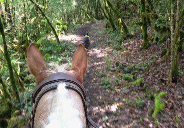
Reiten