


5,2 km | 6,8 km-effort


Benutzer


Kostenlosegpshiking-Anwendung
 SityTrail
IGN / Geografische Institute
SityTrail World
Die Welt öffnet sich für Sie
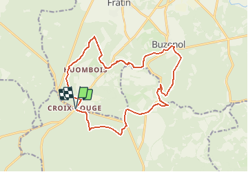
Tour Wandern von 16,7 km verfügbar auf Wallonien, Luxemburg, Étalle. Diese Tour wird von jeangulu vorgeschlagen.
Point de départ : Parking de la Croix Rouge
Coordonnées : Latitude : 49°37'30.468" N
Longitude: 5°32'59.855" E

Wandern
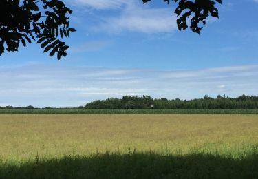
Wandern
Wandern

Mountainbike
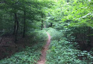
Wandern

Zu Fuß
Wandern
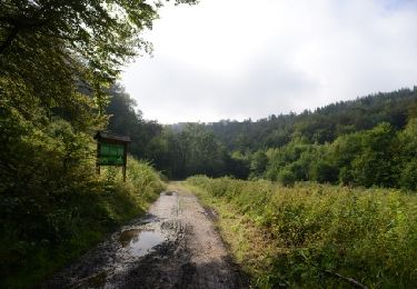
Wandern

Wandern