


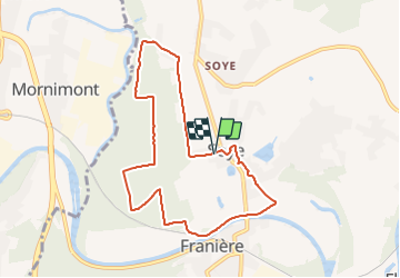

19,9 km | 25 km-effort


Benutzer


Kostenlosegpshiking-Anwendung
 SityTrail
IGN / Geografische Institute
SityTrail World
Die Welt öffnet sich für Sie
Tour Nordic Walking von 7,6 km verfügbar auf Wallonien, Namur, Floreffe. Diese Tour wird von jgo vorgeschlagen.
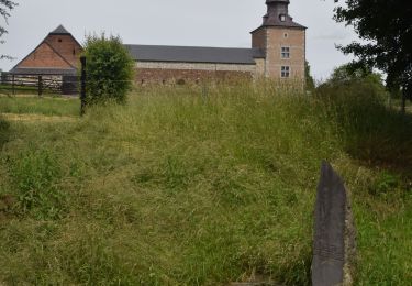
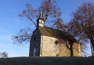
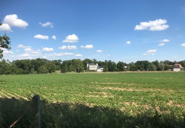
Parcours sans grande difficulté au départ de la place de l'Europe à Soye (Franière).
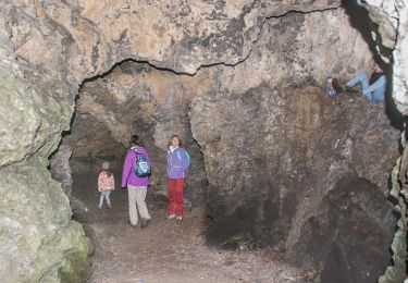
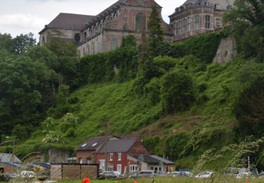
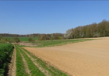
La plupart du temps, sur des chemins le long ou dans les bois, le long de la Sambre et en traversant une zone herbeuse.
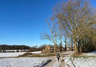
Quelques tronçons de route peu fréquentées.
Wandern
Wandern

Wandern
Wandern
Wandern
Wandern
Wandern
Zu Fuß
Wandern