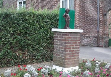
19,6 km | 21 km-effort
w-frankrijk-du-bocage-au-marais
gpstracks
Benutzer
Länge
13,4 km
Maximale Höhe
31 m
Positive Höhendifferenz
86 m
Km-Effort
14,5 km
Min. Höhe
-3 m
Negative Höhendifferenz
86 m
Boucle
Ja
Erstellungsdatum :
2014-12-10 00:00:00.0
Letzte Änderung :
2014-12-10 00:00:00.0
--
Schwierigkeit : Unbekannt
Kostenlosegpshiking-Anwendung
Über SityTrail
Tour Wandern von 13,4 km verfügbar auf Nordfrankreich, Nord, Buysscheure. Diese Tour wird von gpstracks vorgeschlagen.
Beschreibung
More information on GPStracks.nl : http://www.gpstracks.nl
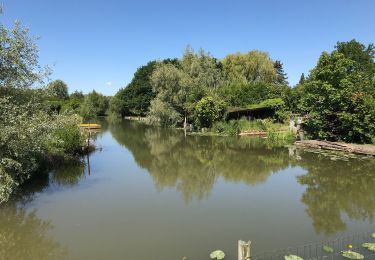
POIs
Ort
Land:
France
Region :
Nordfrankreich
Abteilung/Provinz :
Nord
Kommune :
Buysscheure
Standort:
Unknown
Gehen Sie:(Dec)
Gehen Sie:(UTM)
453020 ; 5628220 (31U) N.
Kommentare
Touren in der Umgebung
Circuit de Booneghem -Nieurlet
Wandern
Medium
(1)
Nieurlet,
Nordfrankreich,
Nord,
France
9,6 km | 10,1 km-effort
2h 30min
Ja
Vers le paradis
Wandern
Sehr leicht
(1)
Buysscheure,
Nordfrankreich,
Nord,
France
7,1 km | 7,8 km-effort
Unbekannt
Ja
À la découverte du marais audomarois
sport
Sehr leicht
(1)
Clairmarais,
Nordfrankreich,
Pas-de-Calais,
France
6,8 km | 7,2 km-effort
Unbekannt
Ja
activity_1282864488
Zu Fuß
Medium
Clairmarais,
Nordfrankreich,
Pas-de-Calais,
France
14,9 km | 16,1 km-effort
3h 59min
Ja
Circuit de Booneghem
Wandern
Sehr leicht
Nieurlet,
Nordfrankreich,
Nord,
France
8,6 km | 9,1 km-effort
Unbekannt
Ja
copie
Wandern
Einfach
Clairmarais,
Nordfrankreich,
Pas-de-Calais,
France
8,1 km | 8,5 km-effort
2h 4min
Ja
Boucle de Volckerinckhove
Fahrrad
Einfach
Volckerinckhove,
Nordfrankreich,
Nord,
France
29 km | 31 km-effort
1h 30min
Ja
Vers le Paradis - Buysscheure
Wandern
Medium
Buysscheure,
Nordfrankreich,
Nord,
France
7,8 km | 8,6 km-effort
2h 0min
Ja