


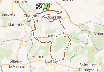

17,1 km | 23 km-effort

Benutzer


Kostenlosegpshiking-Anwendung
 SityTrail
IGN / Geografische Institute
SityTrail World
Die Welt öffnet sich für Sie
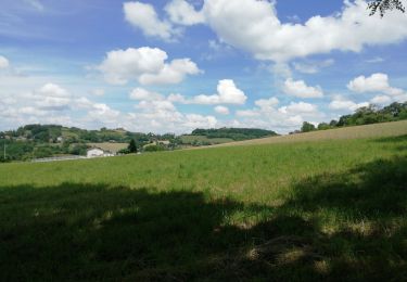
Tour Wandern von 20 km verfügbar auf Auvergne-Rhone-Alpen, Rhône, Chaponnay. Diese Tour wird von SyMA vorgeschlagen.
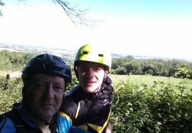
Départ cimetiere de Baleysieu
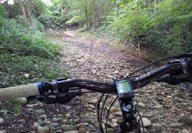
un point délicat descente vers ruisseau de Joux ...tenter plus à droite à14.4km


Wandern

Mountainbike
Wandern
Mountainbike
Wandern
Mountainbike
Mountainbike
Mountainbike
Andere Aktivitäten