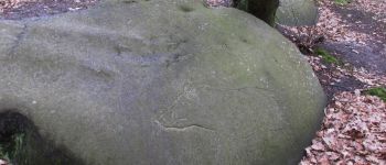

balade en halatte circuit 4

gilbertdu60
Benutzer

Länge
21 km

Maximale Höhe
222 m

Positive Höhendifferenz
372 m

Km-Effort
26 km

Min. Höhe
95 m

Negative Höhendifferenz
374 m
Boucle
Ja
Erstellungsdatum :
2021-05-07 13:33:13.693
Letzte Änderung :
2021-05-08 09:04:06.828
2h07
Schwierigkeit : Medium

Kostenlosegpshiking-Anwendung
Über SityTrail
Tour Elektrofahrrad von 21 km verfügbar auf Nordfrankreich, Oise, Pont-Sainte-Maxence. Diese Tour wird von gilbertdu60 vorgeschlagen.
Beschreibung
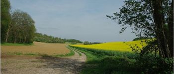
en forêt d'halatte par les sentiers
entre Pontpoint et Villeneuve sur Verberie
en passant par le mont Pagnotte.
POIs
Ort
Land:
France
Region :
Nordfrankreich
Abteilung/Provinz :
Oise
Kommune :
Pont-Sainte-Maxence
Standort:
Unknown
Gehen Sie:(Dec)
Gehen Sie:(UTM)
470900 ; 5460266 (31U) N.
Kommentare
Touren in der Umgebung

La mare aux oiseaux - Beaurepaire


Wandern
Medium
(1)
Beaurepaire,
Nordfrankreich,
Oise,
France

8,4 km | 10,2 km-effort
2h 10min
Ja

Fleurines Grand parcours


Wandern
Einfach
(1)
Fleurines,
Nordfrankreich,
Oise,
France

20 km | 24 km-effort
5h 8min
Ja

Mont Pagnotte Grand parcours


Wandern
Medium
(2)
Pontpoint,
Nordfrankreich,
Oise,
France

16,6 km | 22 km-effort
4h 36min
Ja
ot 6 octobre 24


Mountainbike
Medium
Pont-Sainte-Maxence,
Nordfrankreich,
Oise,
France

23 km | 27 km-effort
1h 54min
Ja
randonnée Au5v OT Ccpoh halatte


Hybrid-Bike
Einfach
Fleurines,
Nordfrankreich,
Oise,
France

30 km | 35 km-effort
Unbekannt
Ja
sortie AU5v Pentecôte 2022


Radtourismus
Einfach
Pont-Sainte-Maxence,
Nordfrankreich,
Oise,
France

26 km | 29 km-effort
Unbekannt
Ja
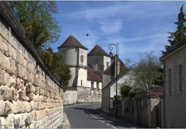
balade pedestre 11 avril 2022


Zu Fuß
Einfach
Pont-Sainte-Maxence,
Nordfrankreich,
Oise,
France

7,2 km | 9,1 km-effort
2h 4min
Ja
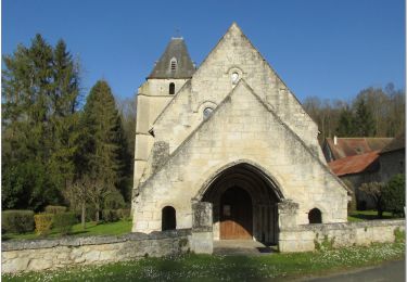
balade printanière du 23 mars


Elektrofahrrad
Einfach
Pont-Sainte-Maxence,
Nordfrankreich,
Oise,
France

22 km | 26 km-effort
2h 14min
Ja
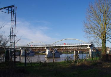
sortie 18 janvier 22


Elektrofahrrad
Einfach
Pont-Sainte-Maxence,
Nordfrankreich,
Oise,
France

23 km | 27 km-effort
2h 4min
Ja


 SityTrail


