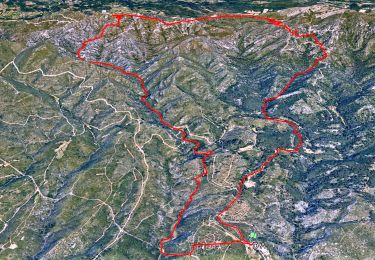
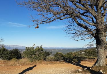
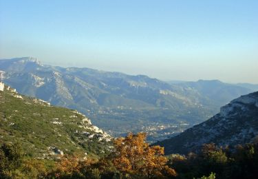
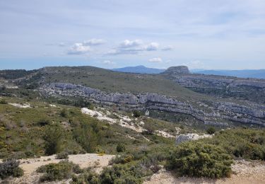
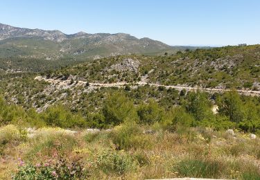
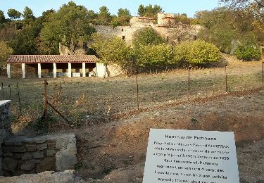
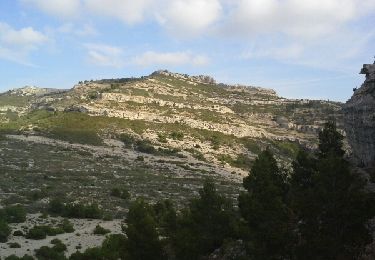
Tour Wandern Allauch - La Parloire et Barre Coupée par les vallons de l'Oule et de l'Amandier - Photo

La Parloire et Barre Coupée par les vallons de l'Oule et de l'Amandier

 Nathy8913
Nathy8913

Benutzer

© OpenStreetMap contributors
Länge
Länge
13,5 km
Maximale Höhe
Maximale Höhe
540 m
Positive Höhendifferenz
554 m
Km-Effort
Km-Effort  
21 km
Min. Höhe
Min. Höhe
241 m
Negative Höhendifferenz
554 m
Boucle
Boucle
Ja
Erstellungsdatum :
2021-05-07 15:27:28.916
Letzte Änderung :
2021-05-07 15:30:04.075

(0 Nachricht)

Wandern
Wandern
4h45
Schwierigkeit : Schwierig

Scannen Sie diesen QR-Code, um die Tour in der SityTrail-Anwendung zu öffnen

Kostenlosegpshiking-Anwendung

Logo SityTrail SityTrail

IGN / Geografische Institute

SityTrail aus dem App Store herunterladen SityTrail von Google Play herunterladen

Logo SityTrail SityTrail World

Die Welt öffnet sich für Sie

SityTrail aus dem App Store herunterladen SityTrail von Google Play herunterladen SityTrail auf Huawei AppGallery herunterladen

Über SityTrail

Tour Wandern von 13,5 km verfügbar auf Provence-Alpes-Côte d'Azur, Bouches-du-Rhône, Allauch. Diese Tour wird von Nathy8913 vorgeschlagen.

Beschreibung

1 passage technique

Höhenprofil

POIs

POI Allauch - A droite jaune - Photo
Nathy8913
POI Allauch - Croisement de la boucle - Photo
Nathy8913
POI Allauch - photo prairie à drpite - Photo
Nathy8913
POI Allauch - Embranchement, à gauche   - Photo
Nathy8913
POI Allauch - photo barres coupees - Photo
Nathy8913
POI Allauch - photo roches - Photo
Nathy8913
ALLAUCH 
POI Allauch - photo escaliers - Photo
Nathy8913
POI Allauch - multi photos - Photo
Nathy8913
ALLAUCH 
POI Allauch - A gauche - Photo
Nathy8913
ALLAUCH 
POI Allauch - photo pounche - Photo
Nathy8913
ALLAUCH 
POI Allauch - Embranchement, à droite - Photo
Nathy8913
POI Allauch - photo pilon - Photo
Nathy8913
ALLAUCH 
POI Allauch - photo marseille - Photo
Nathy8913
POI Allauch - photo Marseille 2 - Photo
Nathy8913
POI Allauch - piste à gauche - Photo
Nathy8913
POI Allauch - Croisement, à droite - Photo
Nathy8913
POI Allauch - Lit de ruisseau, à droite - Photo
Nathy8913
POI Allauch - Dalle à droite - Photo
Nathy8913
POI Allauch - Lit du ruisseau, à droite - Photo
Nathy8913
POI Allauch - photo vallon - Photo
Nathy8913
ALLAUCH 
POI Allauch - Col de l'Amandier - Photo
Nathy8913
POI Allauch - photo marseille - Photo
Nathy8913
POI Allauch - Chemin à gauche - Photo
Nathy8913

Ort

Land:
France
Region :
Provence-Alpes-Côte d'Azur
Abteilung/Provinz :
Bouches-du-Rhône
Kommune :
Allauch
Standort:
Unknown
Gehen Sie:(UTM)
703292 ; 4804285 (31T) N.

Touren in der Umgebung

Tour Wandern Allauch - SityTrail - le Pilon - Photo
Wandern
GUIDE
affinetataille

Wandern

Medium
(1)
Allauch, Provence-Alpes-Côte d'Azur, Bouches-du-Rhône, France
13,7 km | 20 km-effort
6h 0min
Ja
Tour Wandern Allauch - Le tour des Grands Ubacs au départ de Pichauris - Photo
Wandern
Coqorico

Wandern

Einfach
(1)
Allauch, Provence-Alpes-Côte d'Azur, Bouches-du-Rhône, France
13,3 km | 20 km-effort
4h 25min
Ja
Tour Wandern Allauch - Domaine de Pichauris - Allauch - Photo
Wandern
tracegps

Wandern

Medium
(1)
Allauch, Provence-Alpes-Côte d'Azur, Bouches-du-Rhône, France
10,5 km | 15 km-effort
2h 30min
Ja
Tour Wandern Allauch - le pic du Taoumé par Pichauris - Photo
Wandern
GUIDE
amiral13

Wandern

Einfach
Allauch, Provence-Alpes-Côte d'Azur, Bouches-du-Rhône, France
13,3 km | 20 km-effort
4h 32min
Ja
Tour Mountainbike Allauch - les antennes du garlaban à modifier - Photo
Mountainbike
GUIDE
harydh

Mountainbike

Medium
Allauch, Provence-Alpes-Côte d'Azur, Bouches-du-Rhône, France
19,3 km | 28 km-effort
2h 8min
Ja
Tour Mountainbike Allauch - les antennes du garlaban - Photo
Mountainbike
GUIDE
harydh

Mountainbike

Medium
Allauch, Provence-Alpes-Côte d'Azur, Bouches-du-Rhône, France
19,3 km | 28 km-effort
2h 8min
Ja
Tour Mountainbike Allauch - de Pichauris au mont du Marseillais - Photo
Mountainbike
GUIDE
amiral13

Mountainbike

Medium
Allauch, Provence-Alpes-Côte d'Azur, Bouches-du-Rhône, France
14 km | 19,2 km-effort
2h 34min
Ja
Tour Wandern Allauch - Pic du Taoumé - Photo
Wandern
GUIDE
amiral13

Wandern

Einfach
Allauch, Provence-Alpes-Côte d'Azur, Bouches-du-Rhône, France
9,2 km | 15,2 km-effort
5h 5min
Ja
Tour Wandern Aubagne - Chemin des Solans. GARLABAN.  Retour par vallon.  - Photo
Wandern
jll7513

Wandern

Einfach
(2)
Aubagne, Provence-Alpes-Côte d'Azur, Bouches-du-Rhône, France
6,7 km | 13,1 km-effort
2h 9min
Ja


Schließen
Meine Abonnements