


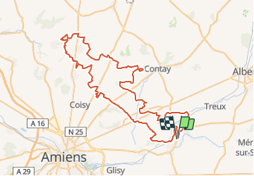

50 km | 58 km-effort

Benutzer


Kostenlosegpshiking-Anwendung
 SityTrail
IGN / Geografische Institute
SityTrail World
Die Welt öffnet sich für Sie
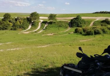
Tour Quad von 89 km verfügbar auf Nordfrankreich, Somme, Corbie. Diese Tour wird von Eric Bottin vorgeschlagen.
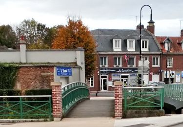
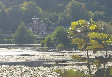
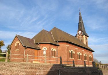
Corbie, pont noyelle , querrieu , st gratien rainneville, villers bocage ,naours , la vicogne , talmas rubempres ,moliens au bois frechemcourt ,la houssoye heilly corbie


Mountainbike
Wandern
Zu Fuß
Zu Fuß
Quad
Quad
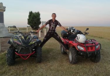
Quad
Wandern
Wandern