
Le tilloy - les sources de la somme

alainwald
Benutzer

Länge
17,4 km

Maximale Höhe
126 m

Positive Höhendifferenz
164 m

Km-Effort
19,6 km

Min. Höhe
81 m

Negative Höhendifferenz
163 m
Boucle
Ja
Erstellungsdatum :
2021-04-29 12:56:58.329
Letzte Änderung :
2021-04-30 22:54:32.06
3h35
Schwierigkeit : Medium

Kostenlosegpshiking-Anwendung
Über SityTrail
Tour Wandern von 17,4 km verfügbar auf Nordfrankreich, Aisne, Remaucourt. Diese Tour wird von alainwald vorgeschlagen.
Beschreibung
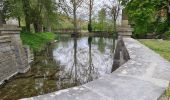
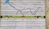
point d'intérêt : les sources de la somme.
vous pouvez faire le tour des sources en plus du parcours.
2 passages à travers champs
Ort
Land:
France
Region :
Nordfrankreich
Abteilung/Provinz :
Aisne
Kommune :
Remaucourt
Standort:
Unknown
Gehen Sie:(Dec)
Gehen Sie:(UTM)
524776 ; 5526617 (31U) N.
Kommentare
Touren in der Umgebung
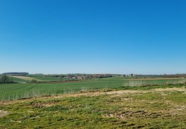
les sources de la Somme.


Wandern
Schwierig
Fonsomme,
Nordfrankreich,
Aisne,
France

11,7 km | 13,3 km-effort
2h 44min
Ja
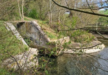
circuit rouvroy fonsomme croix fonsommes


Wandern
Einfach
Rouvroy,
Nordfrankreich,
Aisne,
France

24 km | 27 km-effort
4h 33min
Ja
homblières Fonsomme


Wandern
Einfach
Homblières,
Nordfrankreich,
Aisne,
France

21 km | 24 km-effort
4h 13min
Ja
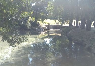
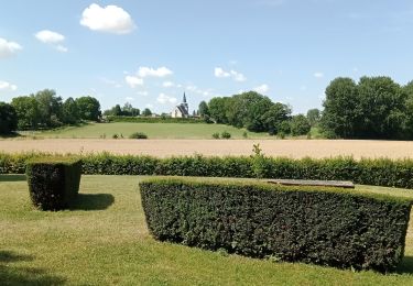
Fonsomme du 16/07/2022


Wandern
Einfach
Fonsomme,
Nordfrankreich,
Aisne,
France

11,8 km | 13,4 km-effort
2h 45min
Ja
Parc d'isle


Wandern
Sehr leicht
Saint-Quentin,
Nordfrankreich,
Aisne,
France

5,9 km | 6,5 km-effort
1h 40min
Ja
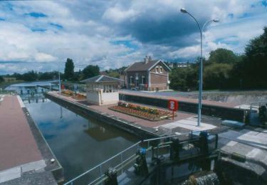
Le parc d'Homblières


Wandern
Medium
Homblières,
Nordfrankreich,
Aisne,
France

8,1 km | 9,2 km-effort
2h 15min
Ja
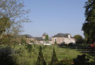
La Somme naissante


Wandern
Sehr schwierig
(1)
Morcourt,
Nordfrankreich,
Aisne,
France

15 km | 17,4 km-effort
4h 15min
Ja

Les sources de la Somme à Fonsomme 02 .


Wandern
Medium
Fonsomme,
Nordfrankreich,
Aisne,
France

11,6 km | 13,3 km-effort
2h 51min
Ja


 SityTrail


