


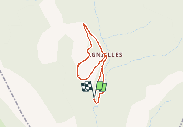

8,1 km | 16,2 km-effort

Les Hautes Alpes à découvrir ! GUIDE+


Kostenlosegpshiking-Anwendung
 SityTrail
IGN / Geografische Institute
SityTrail World
Die Welt öffnet sich für Sie
Tour Zu Fuß von 3,4 km verfügbar auf Provence-Alpes-Côte d'Azur, Hochalpen, Aspres-sur-Buëch. Diese Tour wird von Camping Les Rives du Lac vorgeschlagen.
Petite boucle d'accès facile idéale en famille et en grande partie ombragée. Idéal pour un pique-nique en famille.
Départ : Parking 500 mètres avant le village d'Agnielles


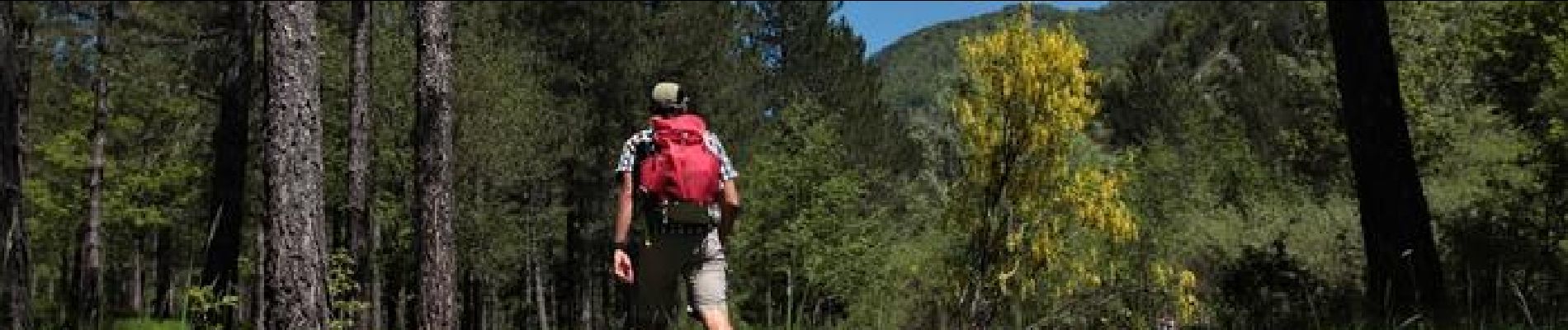
Wandern

Wandern

Wandern
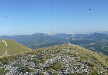
Wandern
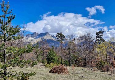
Wandern
Wandern
Wandern
Wandern
Mountainbike