


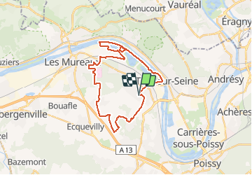

15,6 km | 18 km-effort


Benutzer


Kostenlosegpshiking-Anwendung
 SityTrail
IGN / Geografische Institute
SityTrail World
Die Welt öffnet sich für Sie
Tour Mountainbike von 28 km verfügbar auf Île-de-France, Yvelines, Vernouillet. Diese Tour wird von louisgef vorgeschlagen.
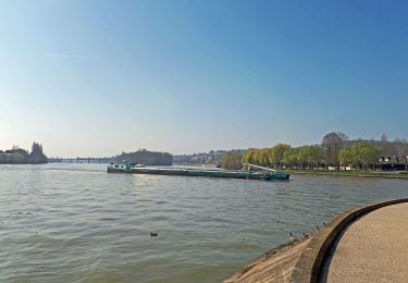
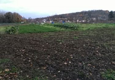
Balade au départ de Vernouillet direction la base de loisirs le long de la Seine, entrée dans la foret de Verneuil ensuite direction Chapet et retour par Marsinval.

Wandern
Wandern

Mountainbike
Wandern
Wandern

Wandern
Wandern

Laufen
Wandern