


9,3 km | 13,4 km-effort

Benutzer


Kostenlosegpshiking-Anwendung
 SityTrail
IGN / Geografische Institute
SityTrail World
Die Welt öffnet sich für Sie
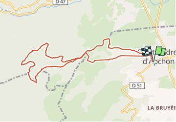
Tour Wandern von 11 km verfügbar auf Auvergne-Rhone-Alpen, Loire, Saint-André-d'Apchon. Diese Tour wird von Jgar vorgeschlagen.
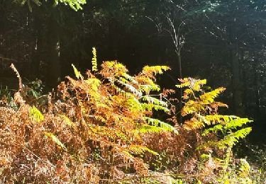
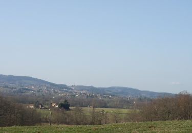
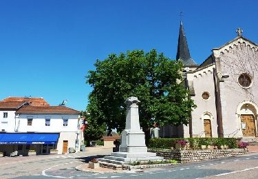
En partant de la place de la Mairie, prendre la rue J.B. Chambonnière, descendre à droite vers le château d'Apchon puis remonter à la maison Patin et rejoindre l'église St-André. Continuer à l'ouest et prendre à gauche du cimetière la route de Curtille qui conduit en ce lieu-dit. Par la droite, vous arriverez aux Gonnards puis à une intersection où passe la PR 22 (balise sur fond blanc-jaune). Monter à gauche et suivre ce sentier balisé jusqu'à une parcelle agricole au milieu des bois (domaine des Grands Murcins). Continuez à monter jusqu'à un chemin carrossable que vous suivrez à droite. A l'intersection, prendre le rocher de Bellevue par un petit sentier.
Le descendre à l'est, tourner à gauche et rejoindre la cote 747. Prendre à droite et descendre jusqu'à la cote 557 (reposoir de Picard). Ne pas prendre la direction des Gonnards mais continuer tout droit (on retrouve la PR 22) jusqu'à un mamelon dominé par un arbre-repère. Descendre à droite aux Goyards puis suivre la route de la Goutte et celle du Bouthéran pour arriver au village.


Wandern
Wandern
Wandern
Wandern

Wandern

Wandern
Wandern
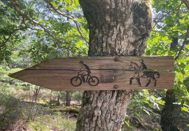
Mountainbike
Mountainbike