


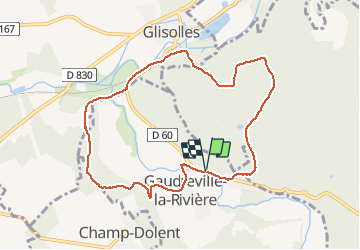

3,7 km | 4,1 km-effort


Benutzer


Kostenlosegpshiking-Anwendung
 SityTrail
IGN / Geografische Institute
SityTrail World
Die Welt öffnet sich für Sie
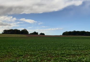
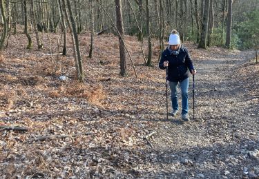
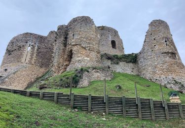
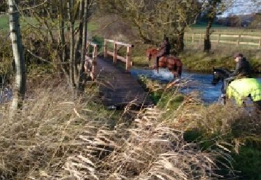
Tour Wandern von 8,6 km verfügbar auf Normandie, Eure, Gaudreville-la-Rivière. Diese Tour wird von jdebain vorgeschlagen.
pour aller à la fosse au dame.a glisolles prendre le chemin en bas le long de la rivière sur 500m avant de monter dans la forêt,puis faire demis tour.
Wandern
Mountainbike
Wandern
Wandern
Wandern
Wandern
Wandern

Wandern