


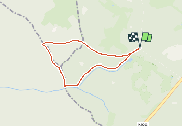


9,8 km | 13,1 km-effort

Randonnées de la Maison du Tourisme Famenne - Ardenne Ourthe & Lesse PRO


Kostenlosegpshiking-Anwendung
 SityTrail
IGN / Geografische Institute
SityTrail World
Die Welt öffnet sich für Sie
Tour Wandern von 6 km verfügbar auf Wallonien, Luxemburg, Tenneville. Diese Tour wird von Maison du Tourisme Famenne - Ardenne Ourthe & Lesse vorgeschlagen.
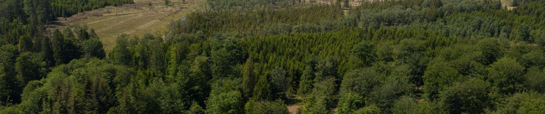
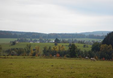
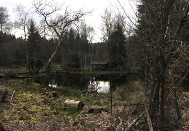
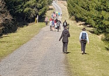
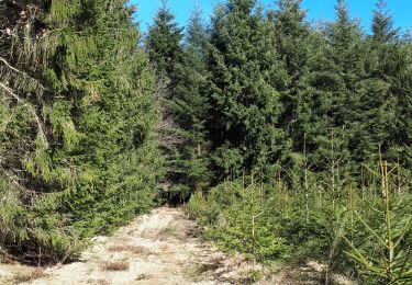
Circuit non balisé en boucle dans le forêt de Saint-Michel.


Wandern
Wandern
Wandern
Wandern
Zu Fuß

Wandern
Wandern
Zu Fuß
Wandern