


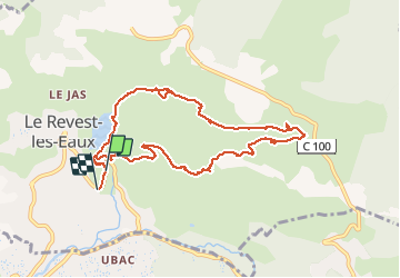


11,8 km | 19,3 km-effort

Benutzer


Kostenlosegpshiking-Anwendung
 SityTrail
IGN / Geografische Institute
SityTrail World
Die Welt öffnet sich für Sie
Tour Wandern von 10 km verfügbar auf Provence-Alpes-Côte d'Azur, Var, Le Revest-les-Eaux. Diese Tour wird von cousam vorgeschlagen.
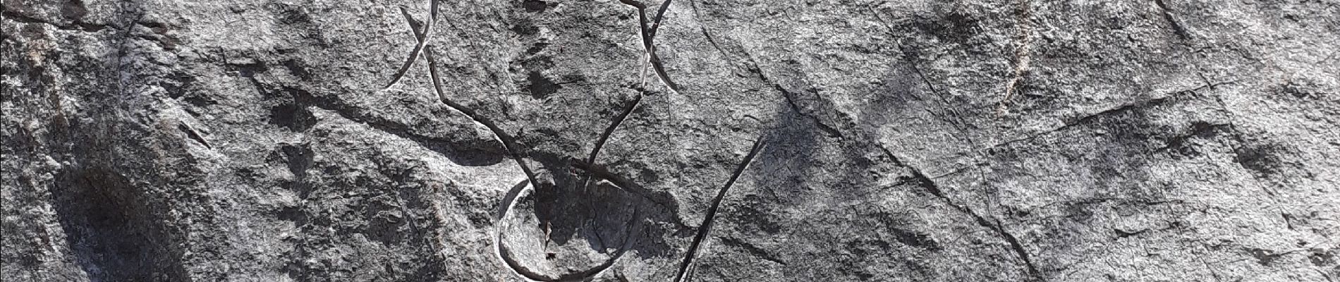
Boucle sympa, passant par les ruines les Olivières ,la carrière des fourmis (nombreuses gravures) la grotte au sable ,et retour par le Mt Combe.


32 Fotos insgesamt. Klicken Sie auf ein Foto, um sie alle in der Galerie zu sehen.

Wandern

Wandern

Wandern

Wandern

Wandern

Wandern

Wandern

Wandern

Wandern