


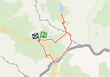


13,1 km | 23 km-effort

Benutzer


Kostenlosegpshiking-Anwendung
 SityTrail
IGN / Geografische Institute
SityTrail World
Die Welt öffnet sich für Sie
Tour Wandern von 8,2 km verfügbar auf Provence-Alpes-Côte d'Azur, Hochalpen, Molines-en-Queyras. Diese Tour wird von Hugues Michel vorgeschlagen.
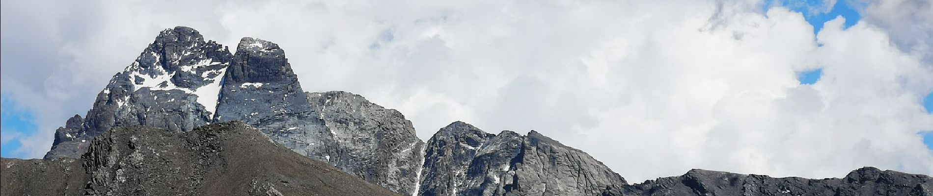
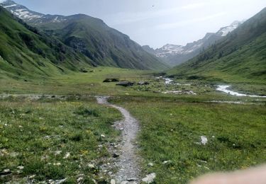
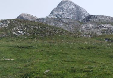
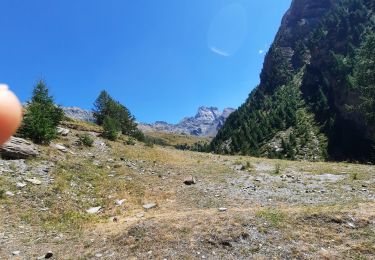
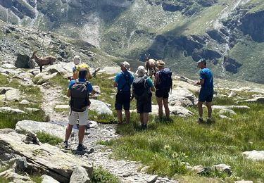
Superbe boucle au départ du refuge Agnel, jusqu'au col Vieux, puis descente vers le lac Foréant, remontée en direction du pain de Sucre (3208m), retour par le col Agnel, avec vue sur l'Italie et le mont Viso.


Wandern
Wandern

Wandern

Wandern

Wandern

Wandern
Wandern
Wandern
Wandern