


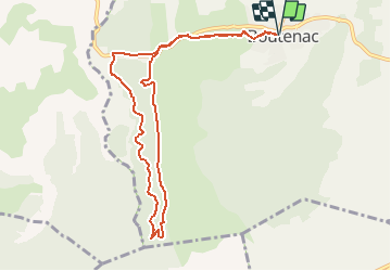

19,9 km | 27 km-effort


Benutzer


Kostenlosegpshiking-Anwendung
 SityTrail
IGN / Geografische Institute
SityTrail World
Die Welt öffnet sich für Sie
Tour Wandern von 10 km verfügbar auf Okzitanien, Aude, Boutenac. Diese Tour wird von Licianus2 vorgeschlagen.
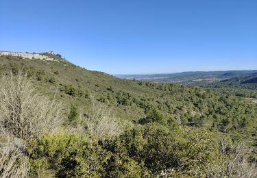
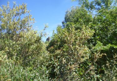
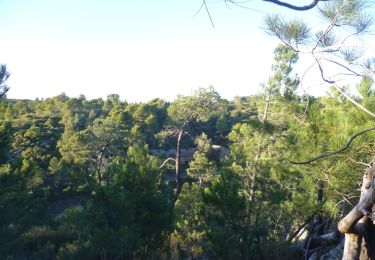
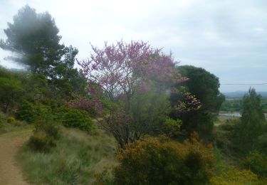
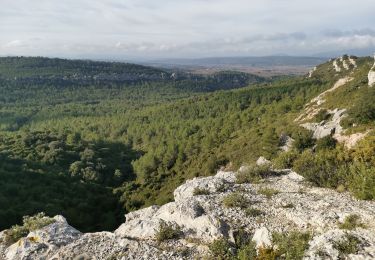
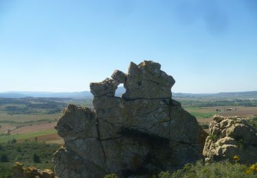
Beaucoup de pistes caillouteuses. Départ piste cimentée puis départementale sur 1km. Montée jusqu’à la vigie sur 4,5km puis redescente par piste caillouteuse. Belle panoramique cependant, un peu sportive. Pas trop d’ombre et exposée au vent du nord.


Wandern

Wandern
Wandern

Wandern
Wandern
Wandern
Wandern
Wandern
Wandern